The 1427 Florentine Cadastre documented approximately 60,000 households across Florence and its territories. This historical record captured detailed information about family structures, occupations, property values, and wealth distribution.
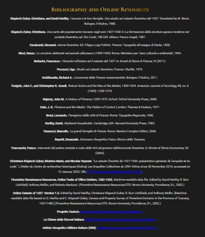
The team worked primarily with the digitized version of these records created by Christiane Klapisch-Zuber and David Herlihy in their 1988 study.
Additional sources included political records from the Archivio delle Tratte, geographic data from Emanuele Repetti’s 19th century dictionary, and modern military survey maps for accurate location data.