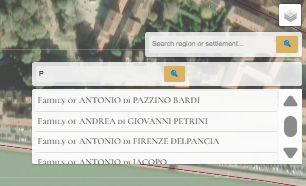
The Catasto Chronicles began with collecting and standardizing historical data from the 1427 Catasto records focusing on household wealth, professions, and political roles. The team georeferenced this information using ArcGIS, transforming the data into files to match historical locations with modern mapping coordinates.
Users can follow family ties across regions, understand marriage alliances, and see how wealth and political influence moved through different generations.