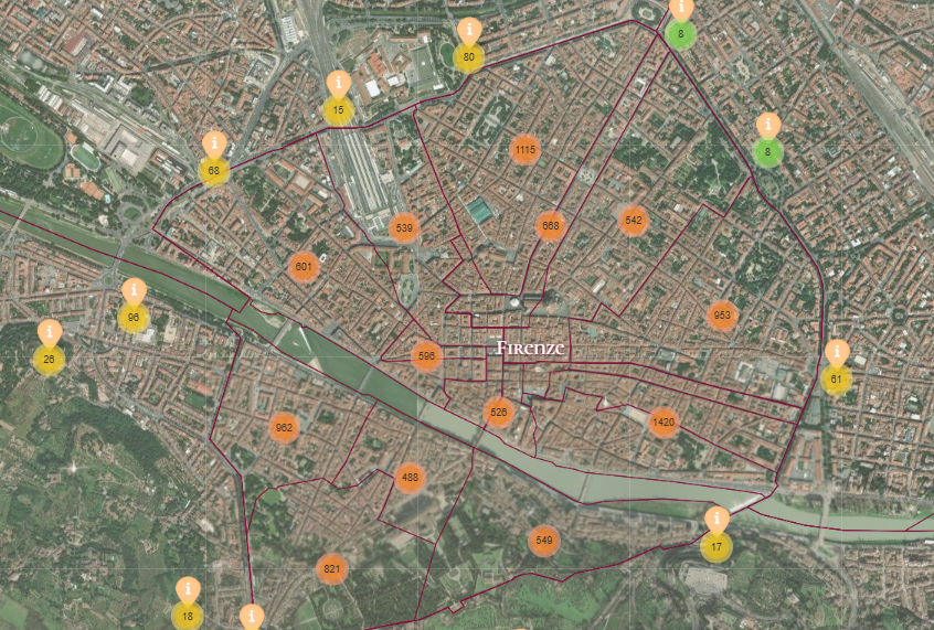
The Catasto Chronicles effectively combines GIS mapping with historical data while maintaining accuracy. The interactive map bridges academic research and public accessibility, aligning with key principles of digital humanities.
By georeferencing historical locations and using layered visualizations this project allows users to explore data at different levels.
The use of open source tools ensures that the methodology can be replicated for other historical datasets, laying a strong foundation for future digital history initiatives.