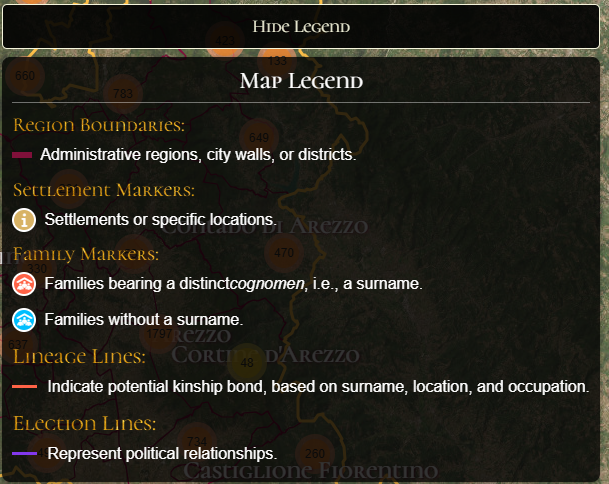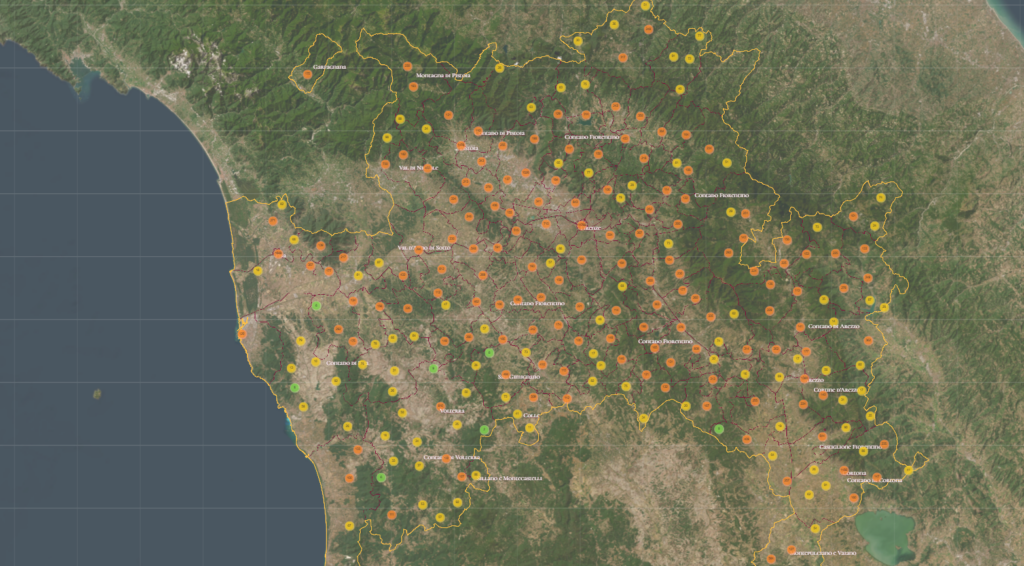
The project digitizes and visualizes the 1427–1430 Florentine cadastre, which is similar to a census. This interactive map reveals the wealth distribution, social structure, and political geography of Renaissance Florence.
The project was developed Vittorio Tonini, teams of historians, digital humanists, GIS specialists, and developers at the University of Toronto. It began in 2015 and the project remains ongoing.
Historical tax records combined with modern GIS tools allow users to explore connections between families, professions, regions, family connections and assets visualized down to the florin.