From Crime Mapping to Crime Forecasting: The Evolution of Place-Based Policing
Hunt, J. (2019, July 10). From crime mapping to crime forecasting: The evolution of place‑based policing. National Institute of Justice.
https://nij.ojp.gov/topics/articles/crime-mapping-crime-forecasting-evolution-place-based-policing
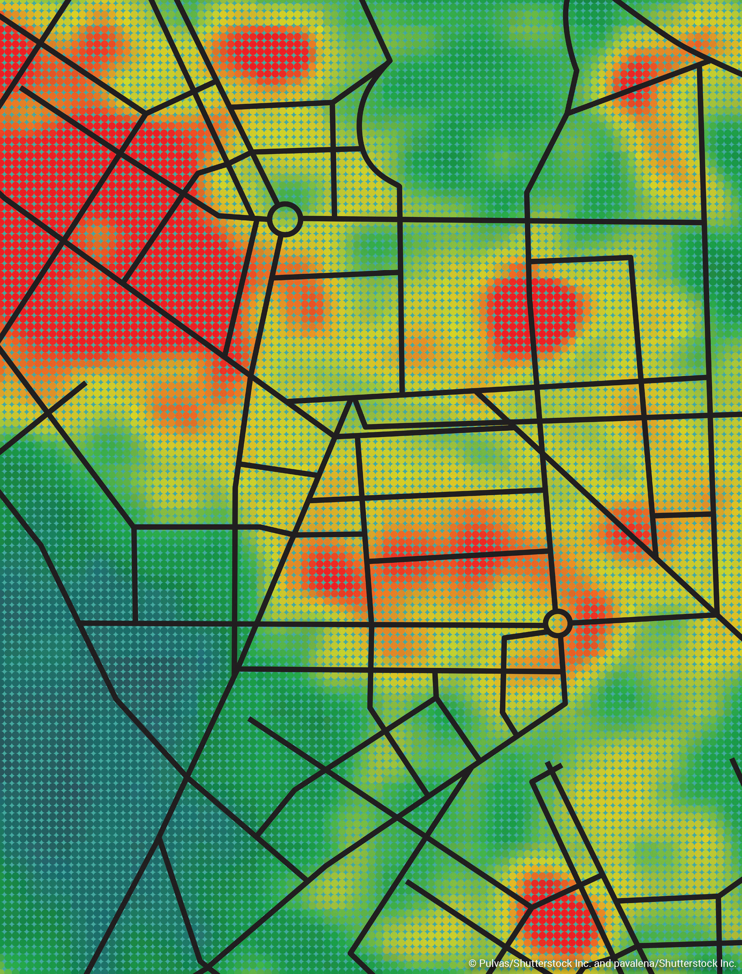
Mapping law enforcement report data can be an effective way to analyze where crime occurs. The resulting visual display can be combined with other geographic data and used to analyze and investigate patterns of crime. The past decade, in particular, police mapping technology has seen advances in analytical capabilities within the criminal justice community, making it possible to add more geographic and social dimensions to statistical analyses to forecast where crimes are likely to occur. NIJ has been a long-time investor in research on mapping and analysis. Over the years, the Institute has funded projects that explore, evaluate, and seed analytical techniques and technology to support law enforcement agencies that use place based policing practices and strategies.

Hunt, J. (2019, July 10). From crime mapping to crime forecasting: The evolution of place‑based policing. National Institute of Justice.