ArcGis
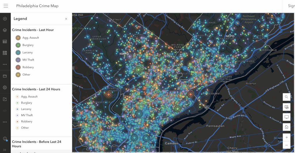
ArcGIS Online has a crime map for Philadelphia that shows where different crimes happen in the city. People can look at the map to see patterns, which show where a certain type of crime is likely to be committed. This connects to criminal justice because police and others can use the information to keep certain locations safer. It also connects to digital humanities because it uses technology and data to study people, neighborhoods, and culture. Crime mapping like this helps us see what places are more dangerous than others and could be helpful on ways to prevent it.