Methods
The project uses old records and maps to show how homesteading led to the loss of Indigenous land. It helps people see how government policies changed who controlled the land.
Step 1 – Data Collection and Cleaning:
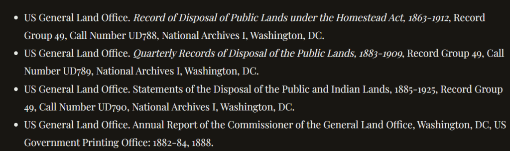
Researchers collected data from the General Land Office (GLO) and U.S. census archives, normalizing information about land claims and property.
- Linked to Tools: Raw data were processed in databases with GIS software.
- Analysis: Cleaning the old data helps make it accurate, but it also means the researchers have to decide what to keep or leave out.
Step 2 – Mapping:
They made map layers that match homesteading data with old maps of Indigenous lands and government land takeovers.
- Linked to Tools: ArcGIS layers the data over time, so you can see both the growth of settlements and the displacement happening at the same time.
- Analysis: Connecting the data to the maps helps show the effects of colonizing that regular written history might miss.