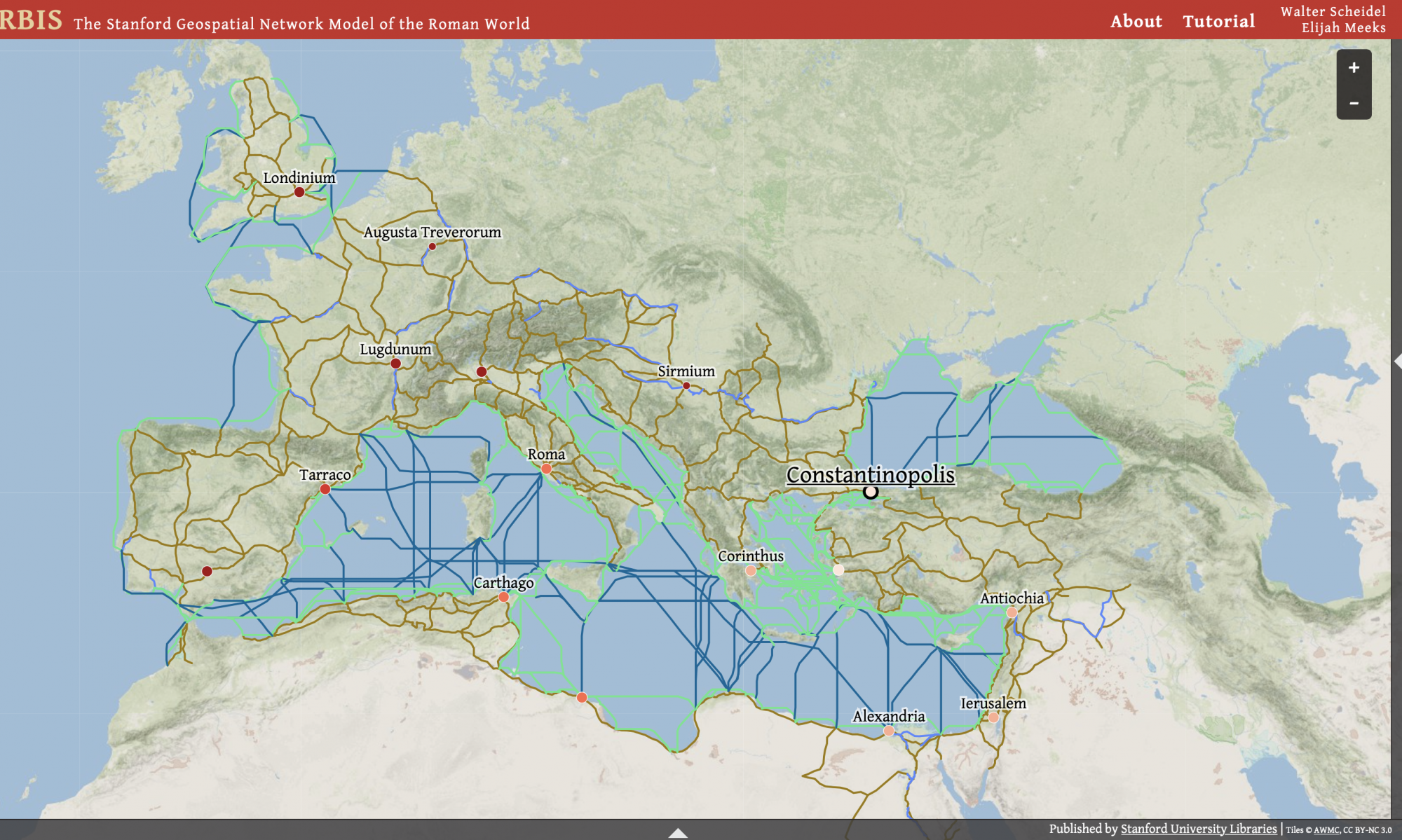
Geopolitics
Geopolitics is a foreign policy method used to understand and predict large scale systems including resources, climate, topography, demography etc.
The aim of Orbis is to essentially look at how distance and struggle effected connectivity between long distances during the Roman Empire. Using the same model to map out how these systems effect connectivity today and enhance those aspects that fall short. The formula’s “simulations prioritize averages over particular outcomes; large-scale connectivity over local conditions; and the logical implications of choices over actual preferences,” if applied to various geopolitical issues it could prove useful.
“Our model seeks to improve our understanding of how a large-scale system such as the Roman Empire worked, of the effort it took to succeed in the struggle to connect and control tens of millions of people across hundreds and thousands of miles of land and sea.”
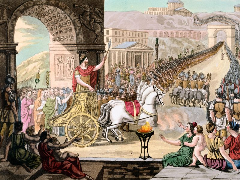
History
Historians can use this tool to gain better grips on the travel of ancient Rome. They can run endless simulations using different variations; which then could be used to prove or disprove various hypotheses about that time period. Speculation remains abundant when figuring out various aspects of society lost so long in time. When it comes accurately calculating and factoring in travel into historic narrative, Oracle can help add credibility.
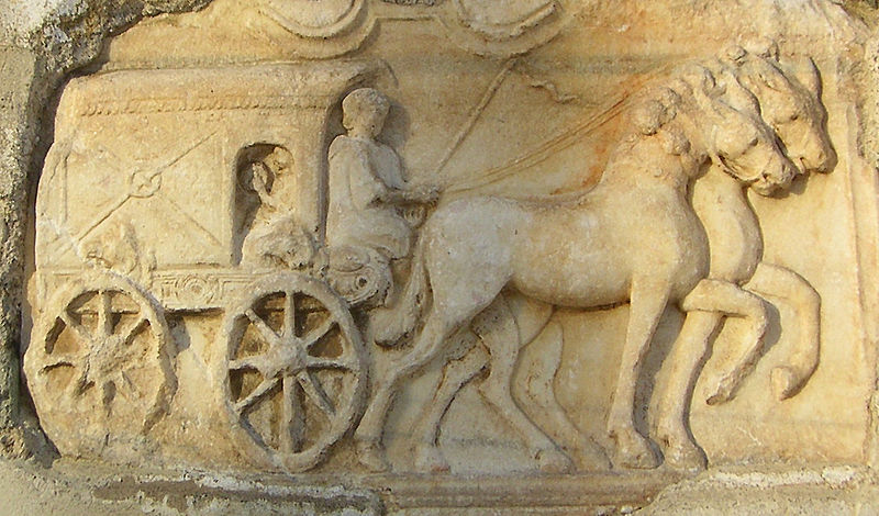
Education
Orbis is an extremely user friendly easy to use interactive website that allows that user to choose their own path and get an experience personal to you. This can be harnessed to make the education experience more interesting and engaging. Students who are learning about ancient Rome can use this website to get a better understanding as to how goods and travelers made their way around. Conventional methods like textbooks and academic journals fall short when it comes to immersing the student in the history and what they’re learning, this can help change that.