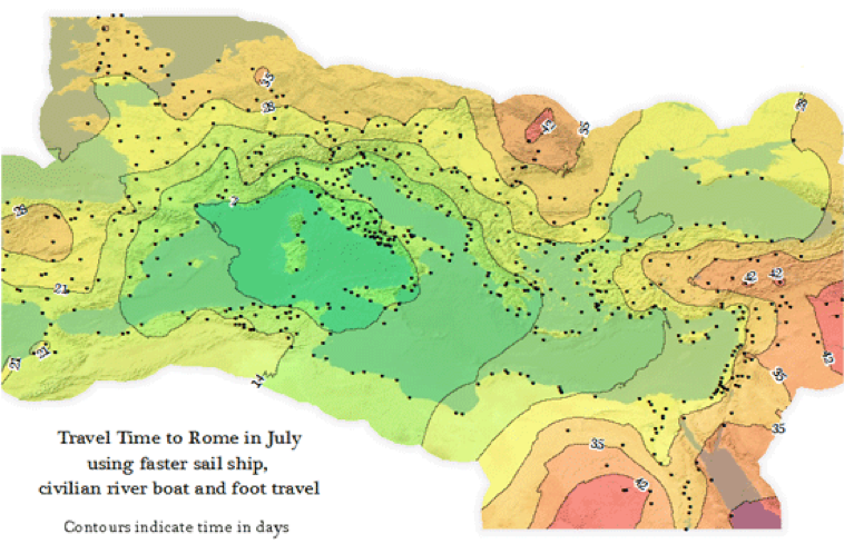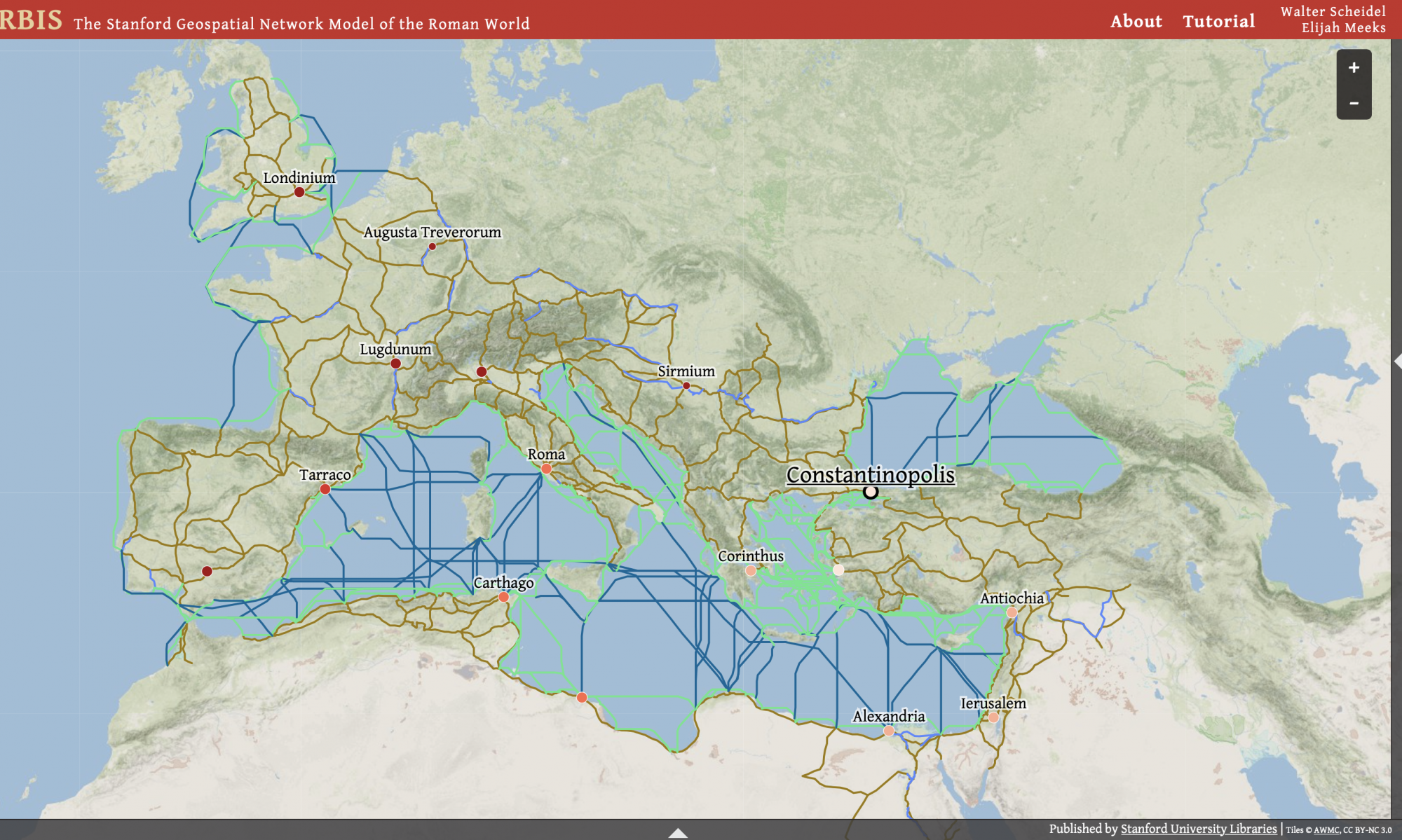
The ORBIS model consists of 632 sites and this model is a simplified version of the giant network of cities, roads, rivers and ancient sea lanes of Rome. Most of the site reflects life around 200 CE. The main focus is to approximate the structural properties of Roman Communication networks. ORBIS is The Stanford Geospatial Network Model of the Roman World. ORBIS creates a real world reality in revealing the truth behind the ancient Roman world and its profound history. This is what has helped create this model and provides us with this one of a kind resource called ORBIS. The networks that existed in the old roman empire tell an unthinkable story of the life lived through conventional maps that stand for the world as it appears from space. ORBIS is one of a kind in allowing people to understand the communication costs by simulating the routes of the Roman empire network. Simulating the movement taking place throughout the Roman road network, rivers and sea routes in the Mediterranean and Black Sea. This model and Digital Humanities project is special because you get to understand the Duration and financial cost of travel in antiquity. Flow diagrams are important in helping to determine the most efficient routes.