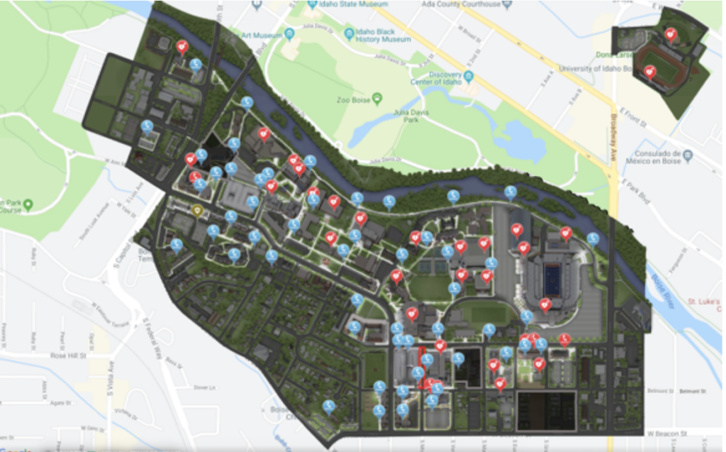
The main tool that will be used in this project is digital mapping. It will bring together environmental data such as lighting levels, walking routes, and emergency call station locations, transforming it into an interactive, visual representation of nighttime safety around WCU. By layering this information, the project allows users to clearly see where lighting is strong, where gaps exist, and how students move across campus after dark.