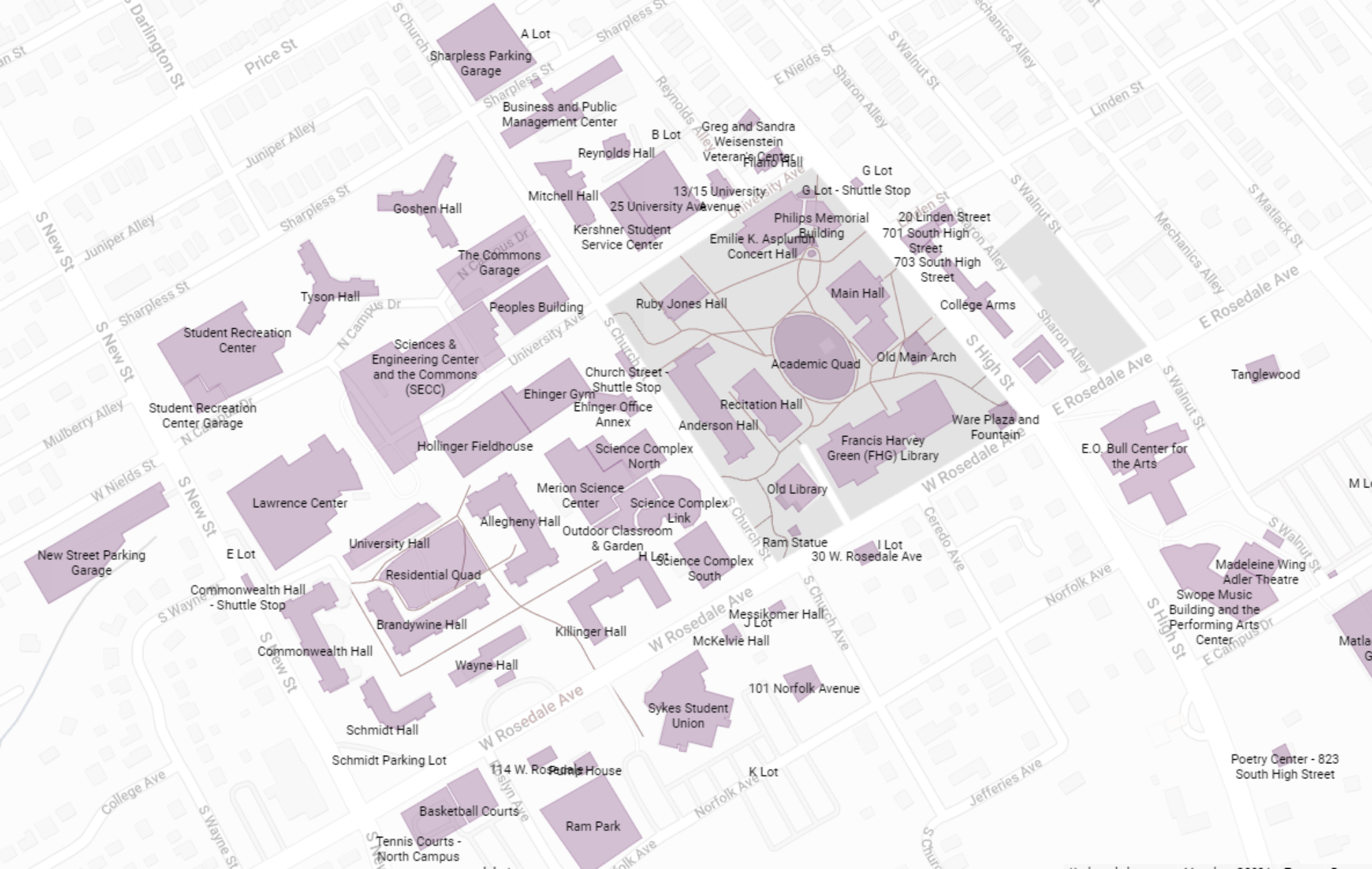
BeforeWCU seeks to create a digital website featuring multi-layered maps that display the temporal evolution of colonial structures on present-day WCU land using a horizontal timeline scroller. At least three maps would be used, including:
- A current map of the campus
- A rendering of the present-day space as it may have looked under Lenape stewardship prior to British colonization in the 17th century
- A relevant intermediate map displaying WCU land between the start of colonization in 1682 and present-day
