Proposal
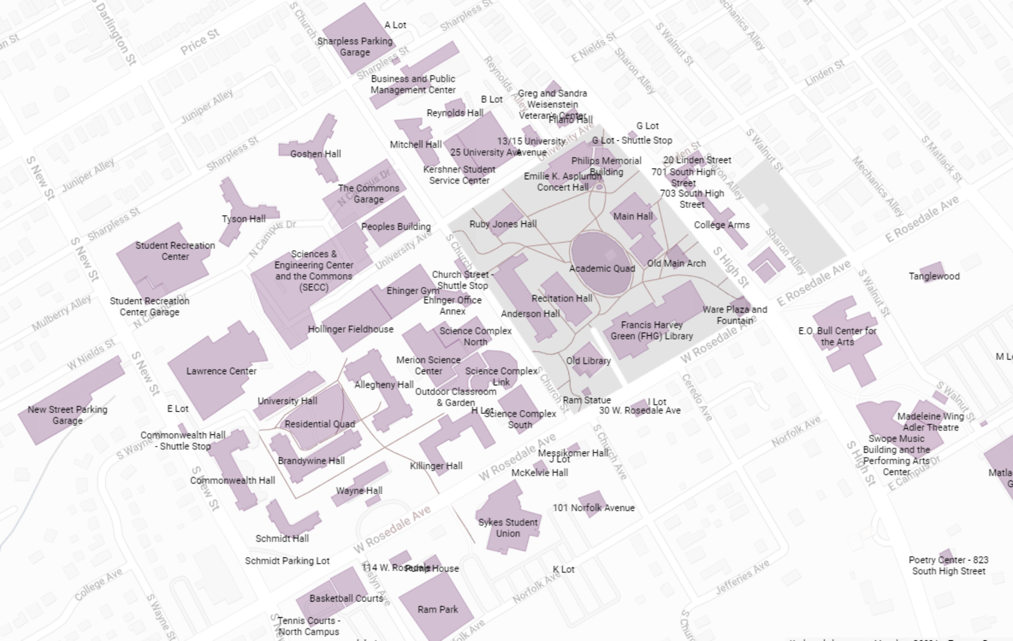
To move beyond the symbolic performativity of an indigenous land acknowledgment, I propose BeforeWCU, a multi-layered and interactive digital map of West Chester University featuring:
- A current map of the campus
- A rendering of the present-day space as it may have looked under Lenape stewardship prior to British colonization in the 17th century
- Any relevant intermediate maps that display the temporal evolution of colonial structures on what is now WCU land
Ultimately, the map will seek to encourage research into and provide awareness of WCU’s participation in contemporary forms of colonialism.

Background
An example of a WCU land acknowledgement is shown above, which you may have seen in some professors’ syllabi. While land acknowledgements are a positive step in recognizing and combatting the collegiate institution’s role in contemporary colonialism, there are other, less performative ways to achieve this goal. Furthermore, inspiration for this project comes from Dr. Michael Lechuga’s audio lecture, Incomunicable: How the University Participates in Settler Colonialism, who argues that:
“producing a single colonial worldview, and rendering all others ‘incomunicable’, is at the heart of what many of our public universities do today. And for me, this ongoing project, which is sustained by numerous modes of production in the university, especially those that pertain specifically to knowledge production, are in need of interrogation. Institutions of state learning that are implicated in this process of rendering peoples and lands incomunicable are guilty, if they are built from the wealth made off of stolen land”
Moreover, it is essential that universities – including WCU – take the difficult step of overtly recognizing and educating the public about the land on which we learn, teach, live, shop, play, and relax upon.