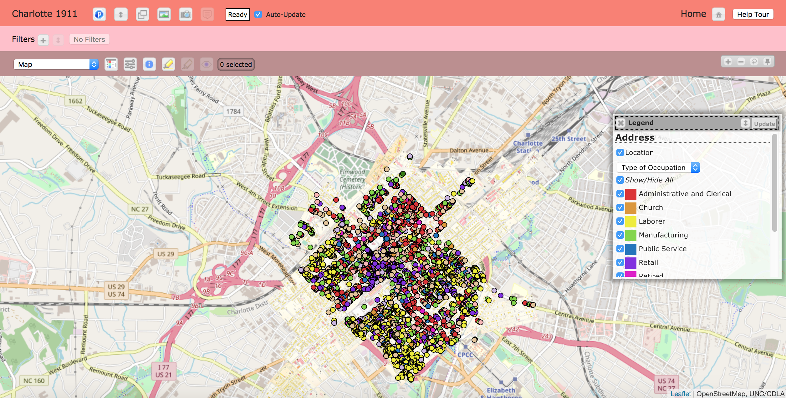
Leaflet
The Visualization page uses Leaflet and OpenStreetMap to create an interactive map allowing the user to navigate to important buildings that were around in 1911. The creators of Charlotte 1911 designed this page by overlaying 90 digitally stitched together Sanborn Fire Insurance maps from that time period using Leaflet and placed them over top of the OpenStreetMap image of Charlotte present day. In order to successfully use both tools to creator the interactive map, the creators of Charlotte 1911 had to match the selected locations from Charlotte in 1911 and digitally pin their latitudes and longitudes together.
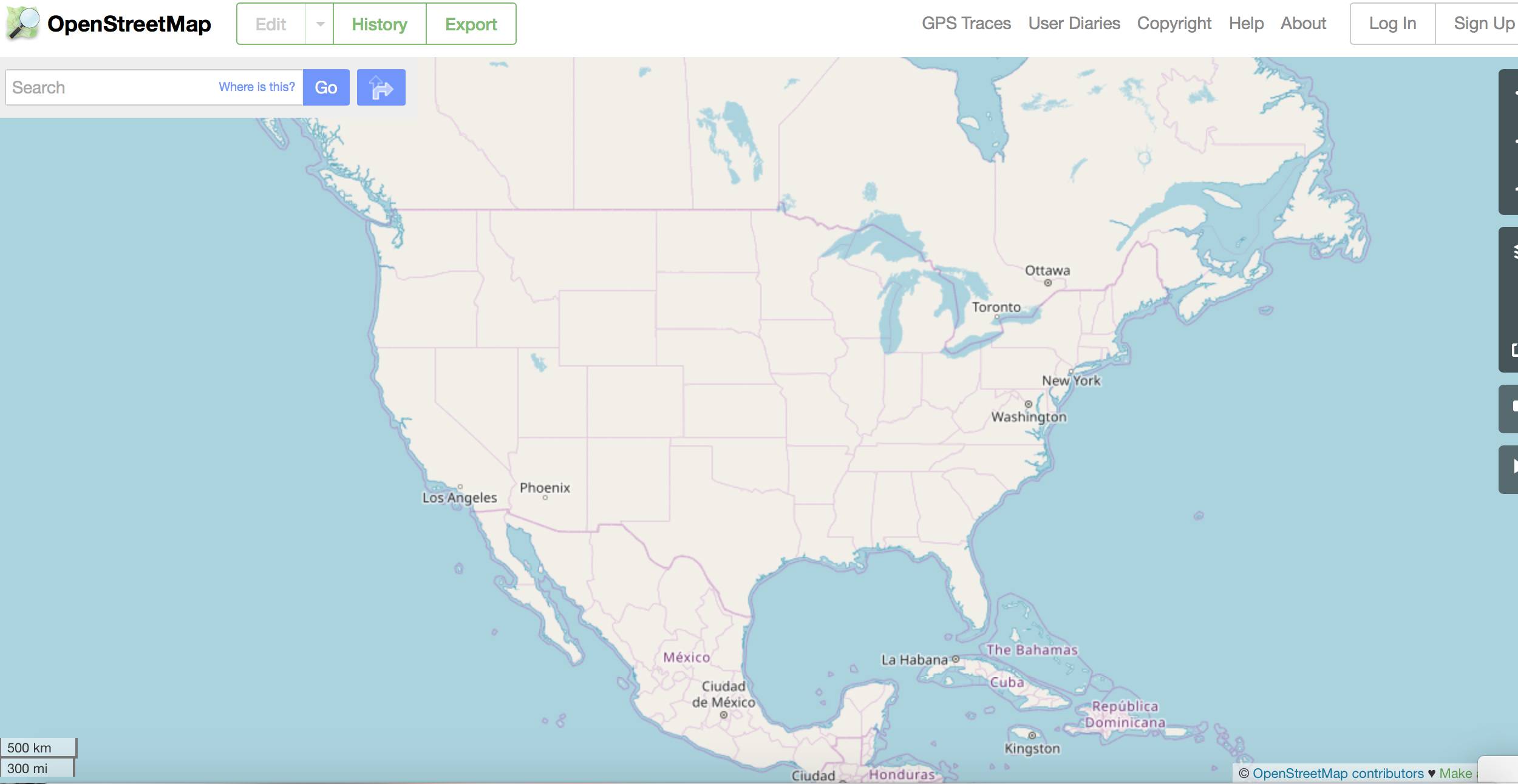
OpenStreetMap
OpenStreetMap is a GIS map competitor or alternative to using GoogleMaps. Thousands of mappers around the world constantly update OpenStreetMap to maintain its accuracy and data on roads and locations. This tool is free to use, eligible for any change a user desires for their own purpose (as long as credit is given), and is updated every day by engineers, GIS professionals, and mappers.
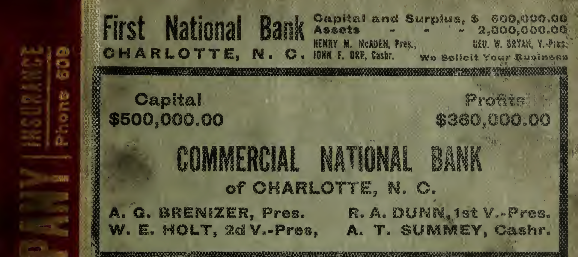
Data Source
The historic information and data comes from Charlotte’s city directories in 1911. The city directories used are comparable to pre-dated phone books, containing lists of all of the businesses from 1911 Charlotte. The addresses found in the city directories are located using longitude and latitude on the map to provide accurate locations for this project. Each location that was discovered using the city directories is color coordinated based off of that place’s significance. The 11 different colors represent: administrative and clerical, church, laborer, manufacturing, public service, retail, retired, sales, service, student, or transportation.
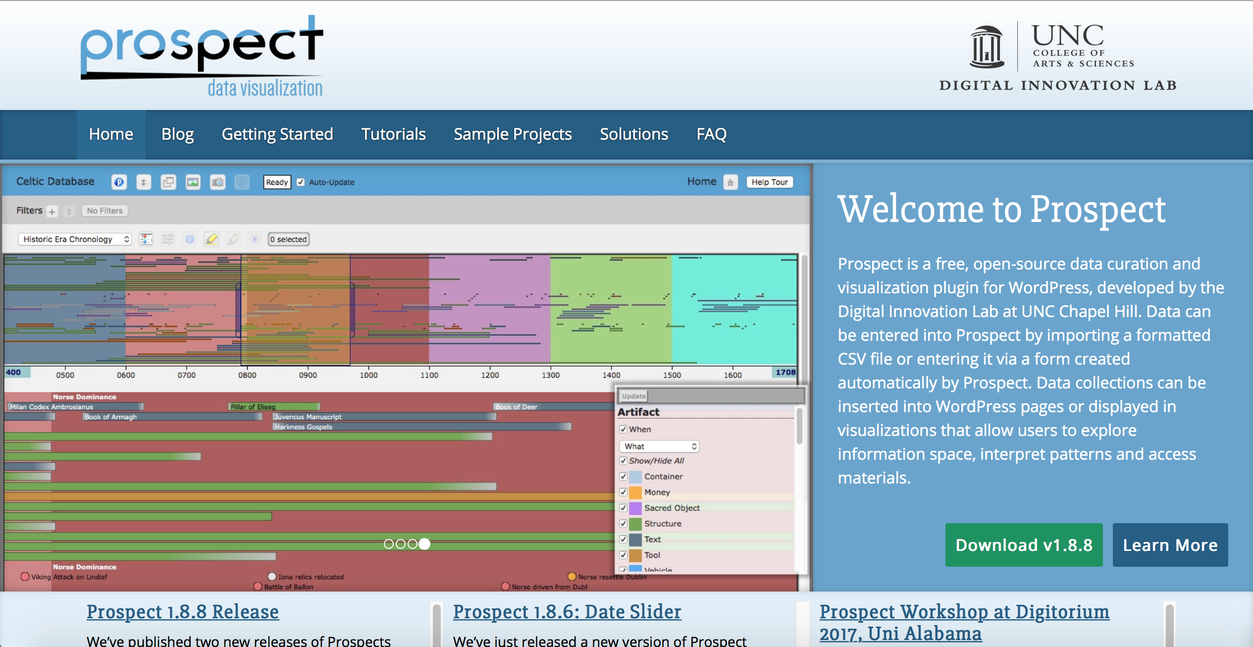
Prospect
Prospect is a web tool specifically designed by creators of Charlotte 1911 through WordPress. It is a visualization and data curation installation that allows the user to enter data and then insert those collections of data onto WordPress pages for the user’s of those pages to access and interpret. Prospect was used for Charlotte 1911 on the visualization page to categorize and provide information regarding each of the addresses found on the map. The pins are arranged in three different styles: type of occupation, race notated, or use. Depending on what information the user is looking for will determine which category they select using the Prospect tool.