
Overview of Charlotte 1911
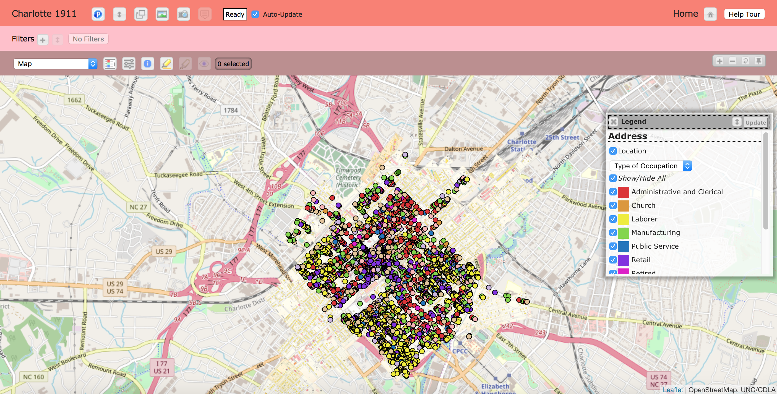
Charlotte 1911 is a digital humanities project put together by the Digital Innovation lab at the University of Chapel Hill and the Levine Museum of the New South. The purpose of this DH project is to replicate the city of Charlotte, North Carolina in 1911 using city directories, maps, and historical documentation from that time period. The project collaborators built Charlotte 1911 on Prospect to create an interactive way for users to view this historical information.
Project Description
The project begins with the quote from Tom Hanchett’s, Sorting Out the New South City: Race, Class, and Urban Development in Charlotte, “What shapes a city? What forces mold its neighborhoods, five rise to its industries and offices, give form to its shops and skyscrapers? What determines where the streets will run, where the wealthy will build their mansions, where the poor will have their humble homes? And why do these forces seem to shift over time, transforming one area, destroying another, holding yet another unchanged?”
This quote became the inspiration for The Digital Innovation lab and the Levine Museum of the New South to take on Charlotte 1911 as a DH project.
Hanchett’s thesis and research goals were to further explore if Charlotte “had been ‘sorted out’ by race and class into socially and racially homogeneous residential neighborhoods”. Hanchett explores the transformation that brought Charlotte, NC from a rural area into a city. In his book, Hanchett explains that the same factor that led to ra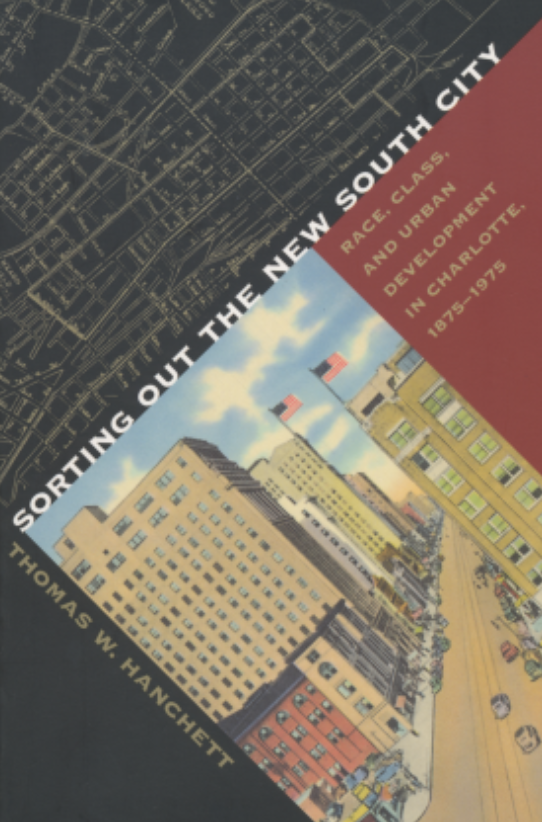 cial and social segregation in Charlotte also was the catalyst to turning Charlotte into a city. Hanchett discovered that prior to the early twentieth century, there was a lack of evidence regarding racial or social segregation. However, as large manufacturers and businesses began to expand in Charlotte, room for higher social classes to distinguish themselves became available, thus allowing more room for segregation to take place.
The previous quote from Hanchett helped raise the necessary research questions about social and economic sorting. The project’s map is then used to drawn conclusions about Charlotte’s past with a focus on how social and economic standards helped shaped the city as it expanded.
Charlotte 1911 studies the distinct shift in 1911 that geographically shows changes in previous neighborhoods racial and social standards. The creators of Charlotte 1911 took Hanchett’s use of maps and research and brought them to life digitally. The project takes four thousand residential listings as well as businesses and digitally enters them into a database. Aspects of the project are used to allow users to discover the city both before and after 1911 in a “new way”.
Significance
This project is a prime example of a project that shows the importance of space, place, and location in the Digital Humanities. Through the visualization tools and research of historical maps and documentation, the Levine Museum of the New south states that Charlotte 1911 “reveals patterns, anomalies, and singularities”. Charlotte 1911’s use of visualization provides an extensive, color coordinated map that reveals significant information on businesses and occupants of city in 1911.
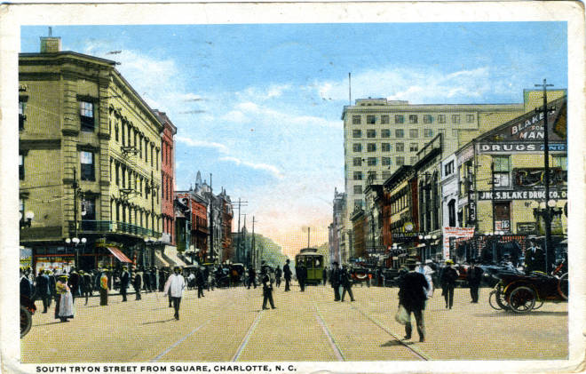
Through the interactive map and rich data collected, the creators of the project were able to build a successful DH project that can assist users to better understand the history and growth of Charlotte, Nc. The image of the postcard reveals what the “Square” of Charlotte looked like in 1911. When one thinks of a city’s “Square”, they typically imagine a lively and crowded area packed with people and buildings. Times Square, in New York City for example, is not an area where the street is generally visible and many cars and taxis cannot even make their way through. This imagine from 1911 Charlotte shows quite the opposite. This visibly allows users to see that it was in the early twentieth century that these changes in Charlotte kickstarted the city-like atmosphere.
The project demonstrates a combination of how certain disciplines work together in the digital humanities to compile useful projects for others to observe and gain knowledge. This project is important and useful to those who are studying both history and digital technology.
Charlotte 1911 allows for historians and other users to change the way they study historical trends and societal shifts in cities via maps. Business owners that reside in Charlotte currently can use this information to better understand the background information and financial trends. Historians can use information from Charlotte 1911 to continue piecing together answers to the question posed by Tom Hanchett- what factors shape a city.
Overall, Charlotte 1911 is an extremely significant DH project. Created in 2009-2010, Charlotte 1911 is an older project that successfully stitched together a digital historic map. The project delivers insight on social and economical shifts and segregation while indirectly mentioning racial segregation. Although this project focuses on a smaller data set, it reveals quite a lot of useful, sustainable data that many users will be able to take advantage of when viewing the project.