Charlotte 1911 is not the only DH project that uses digital maps for users to interact and explore data. It is important to recognize that despite similarities, projects can have many different technological features simply due to a difference in age and the project creator’s preference. Charlotte 1911 is considered to be an older DH project (2009-2010), likewise containing less advanced digital interactive mapping features.While no two projects are exactly alike, similar projects can help better explain space, place, and location in the Digital Humanities.
Building History and The Whiskey Rebellion are DH projects that effectively represent the use of space, place, and/or location in a a similar fashion to Charlotte 1911.
Building History
Building History is a DH project that allows users to digitally interact with maps. The goal of this project is to present changes in the campus and surrounding neighborhoods of Illinois Tech’s Mies campus.
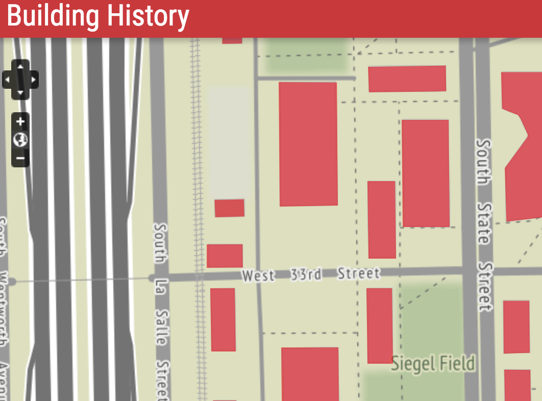
The interactive maps that resemble Charlotte 1911 show updated buildings on campus along with historical information on each building. The map of the campus serves to show how there have been various changes in the surrounding area over time and allows for the addition of new changes and updates that will continue with campus growth.
One fo the major commonalities between Charlotte 1911 and Building History is purpose of the interactive maps. Charlotte 1911 and Building History used tools that allow users to digitally interact with these maps to gain a better understand of the project. Each project is rich with information regarding the city/campus being explored presented in a sustainable way for users to learn more about the city of Charlotte and the growing campus of Illinois Tech’s Mies Campus.
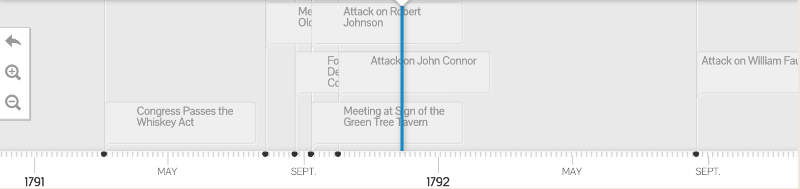
Although Charlotte 1911 and Building History share a common interest of presenting historical information via maps, there are distinct differences in the DH projects. Building History is a project that seeks to show changes and growth of the campus over an extended period of time. The project does so by having a detailed timeline of events paired with their map. Charlotte 1911 provides a detailed map to focus on a specific time period instead of using a timeline.
The Whiskey Rebellion
The Whiskey Rebellion is an in depth DH project created by Stephanie Krom Townrow of NYU, that seeks to capture the time period of the Whiskey Rebellion (1791-1794). The project’s intentions are to show important locations and the chronological order of events, particularly in Western Pennsylvania, from the Whiskey Rebellion.
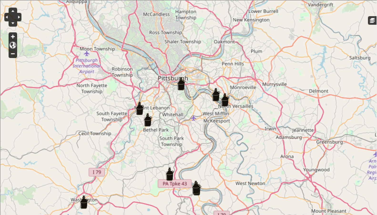
Similar to Charlotte 1911, the project chose to use an interactive map to allow users to see and engage in their research. The map is used to pin specific locations that were considered to be “important places in the Whiskey Rebellion”, according to the project description. Charlotte 1911 also located certain places that were a key part of their research. While The Whiskey Rebellion uses the software Omeka rather than WordPress, both projects use interactive maps to enhance the way users are presented with data tailored to a certain time period.
Unlike Charlotte 1911, The Whiskey Rebellion has other parts of the project that help convey the history of the time period. The Whiskey Rebellion uses a timeline, similar to Building History, as well as an “audio tour“. Various parts of the project stemming from Stephanie Krom Townrow’s research, show that this project has more features compared to Charlotte 1911. The Whiskey Rebellion has more up to date interactive features simply because it is a newer project and uses other tools than those used in Charlotte 1911.