Summary
“Gloucester County Uncovered” will combine digital archiving, database systems, and web design tools to present it’s data. Much of the beginning work must be completed by hand by a team of researchers, but tools will later help with construction of the website and data organization.
Important Tools
“Gloucester County Uncovered” would use an application such as CARTO to create the map portion of the website itself.

CARTO is an online mapping tool that allows users to upload a data set and then generate a map based on the data provided. In this project, the historical sites are what would be mapped in this program.
Whatever data is available, such as photos or documents, would be linked to map locations allowing users to further explore the history behind each site.
WordPress would help host “Gloucester County Uncovered”.

WordPress is an open source content management platform used for creating websites, blog sites and apps. It makes website creation easy for those who have no background in design or development work. The website would be able to be customized to our liking with very little hassle.
Method
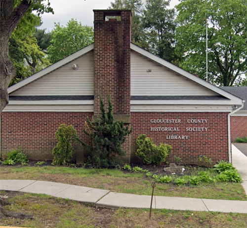
Researchers must first collect already digitized primary sources from the Gloucester County Historical Society Library and Museum. Anything that is not already digitized, the website will direct users to the GCHS.
This data would then be uploaded into a database, something similar to Airtable, and linked together where needed.
Historical sites are mapped onto CARTO and metadata gathered from GCHS sources is linked to individual locations. This way, locations can be filtered by type of site, era, etc.
The entire website that is available to the public will be created on WordPress. This allows for a smooth, seamless design for both the website creators and website visitors.