What is Data?
The data for this project is various data about historical sites. This includes where they are and the historical documents behind them
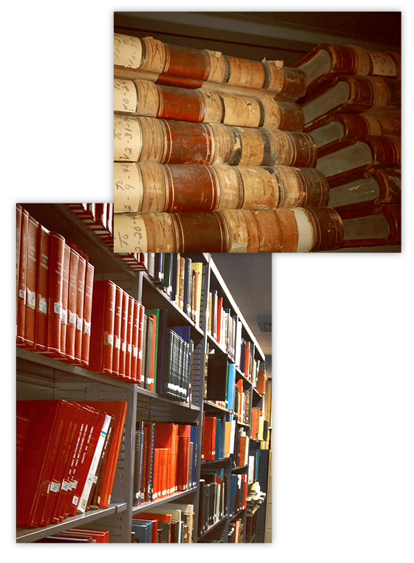
Images of actual GCHS documents and media
Input
In this project, the input data is a curated list from the Gloucester County Historical Society of historical sites in the area as well as descriptions and sources for each of them
The physical data is gathered from the GCHS, consisting of primary sources. The GCHS has an extensive collection newspapers, photographs, maps, and historical documents that are used for input data in this project.
The GCHS Library and Museum, as well as all physical data used for “Gloucester County Uncovered” are located in Woodbury, New Jersey.
Output
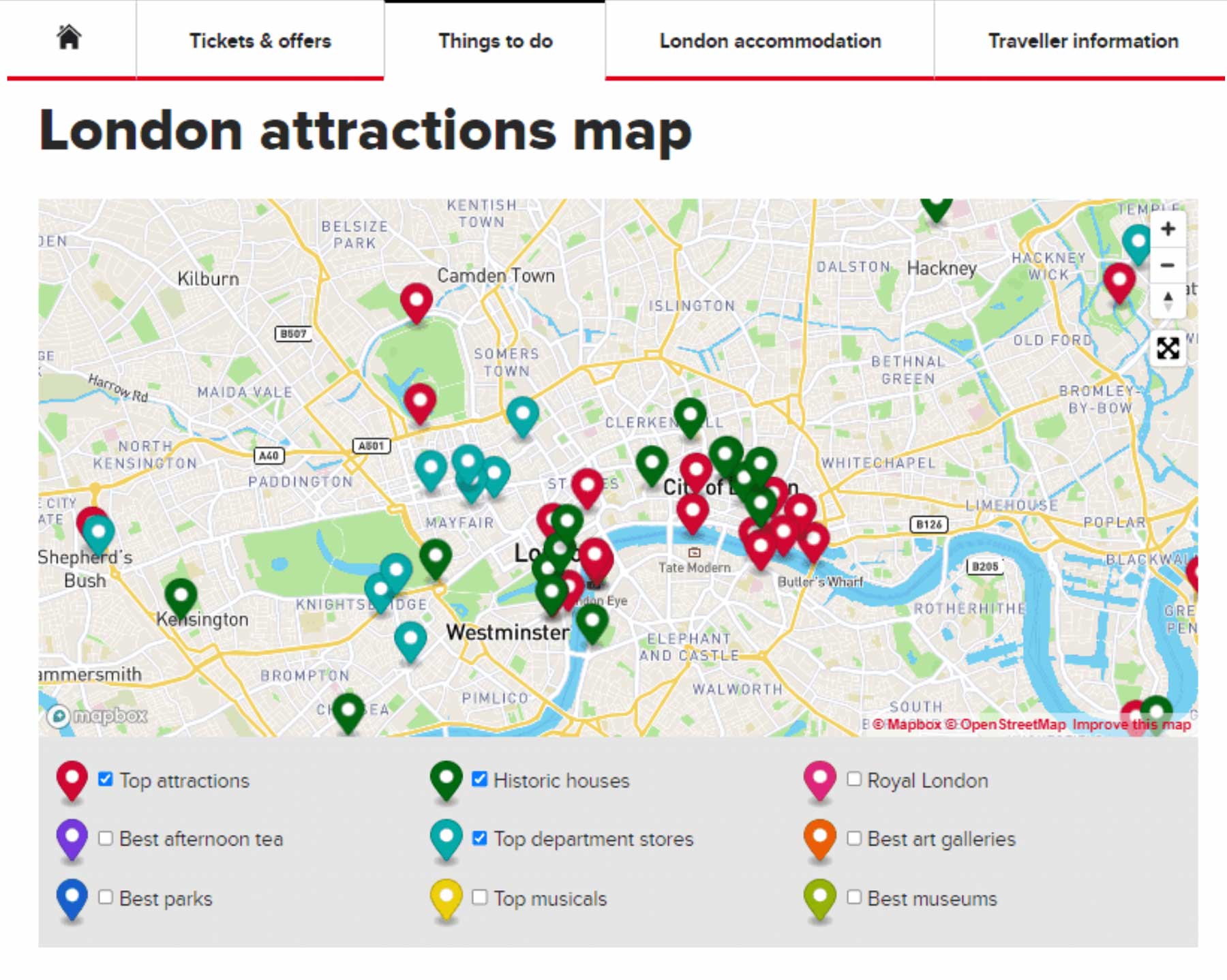
The end result is an interactive map that allows exploration through clickable icons.
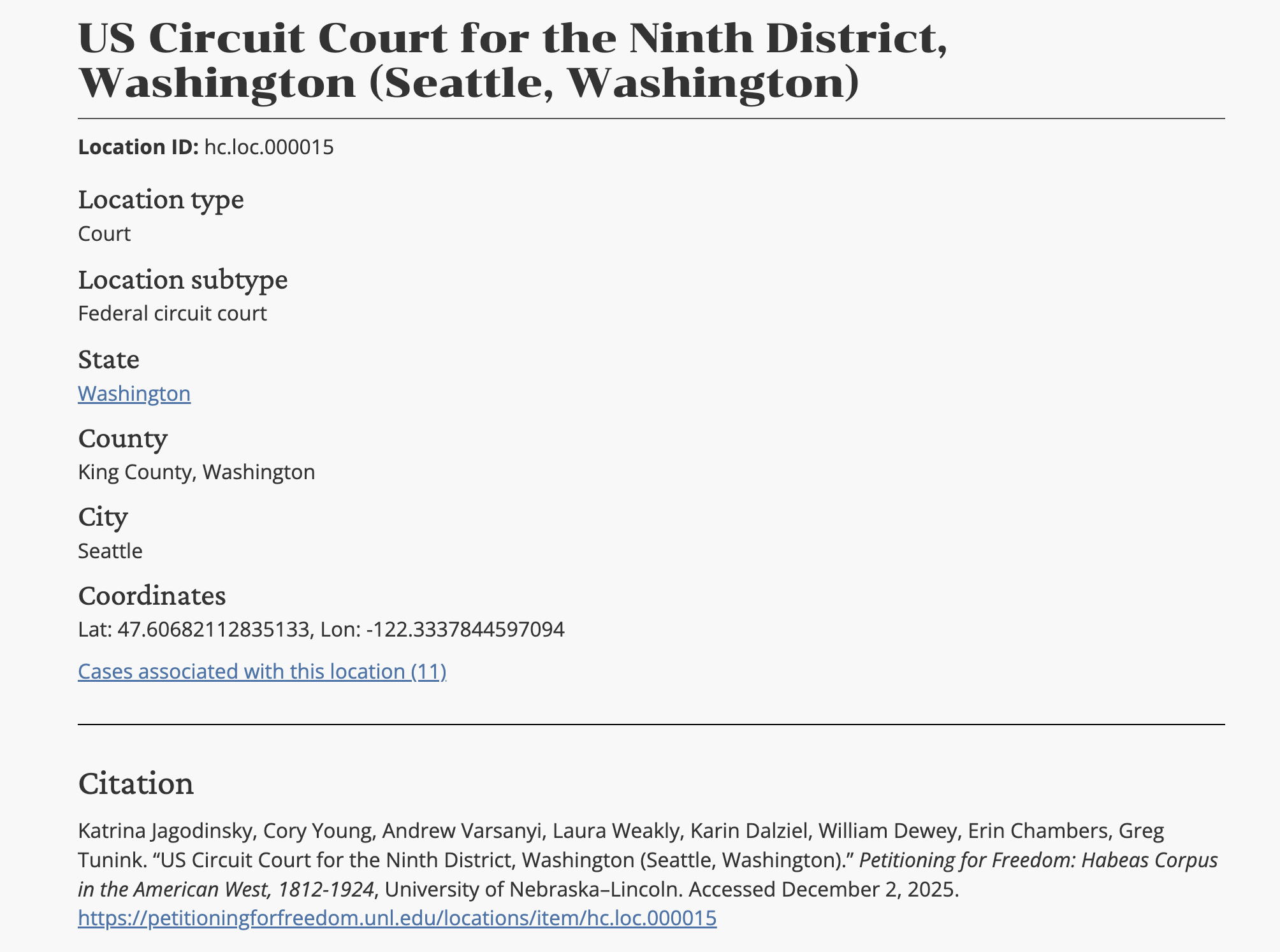
Each location on the map is expandable and will include all data available for it. A summary of each location’s historical significance will be provided when viewed. Pictures and other documents relating to the location can also be accessed on this pop-up.
Addresses are also provided for each location on the map.
Provided are example images of what this would look like in practice.