“Borderlands Archives Cartography” (BAC) is a digital map that represents newspapers from the U.S.- Mexico border in the 19th and 20th centuries.
The map is very similar to what the map would look like in “Gloucester County Uncovered”. The markers that then could be clicked to learn more information about the location is exactly the kind of thing GCU is trying to do. Both projects also use CARTO to help map out their data.
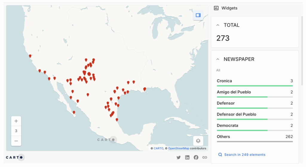
“Borderlands Archives Cartography” interactive map
However, GCU would have more data directly linked to the location on the map itself. All information you could need about a historical site would be available after clicking on it once. You could automatically see documents and photos, BAC does not do that.
“Petitioning For Freedom: Habeas Corpus in the American West, 1812-1924” (PFF) is a database of habeas petitions from county, state, and federal courts in Arizona, Iowa, Kansas, Missouri, Nebraska, New Mexico, Oregon, and Washington in the 19th and 20th centuries.
PFF does not have any kind of mapping feature, which makes it incredibly different than GCU on the surface.
But, PFF has a very thorough database that would be similar to what would be implemented into GCU. Once you were to click on a location on the GCU map, the same kind of database as PFF would pop up. It would include all important information to each location, and links to the exact documents and sources used to gather it.
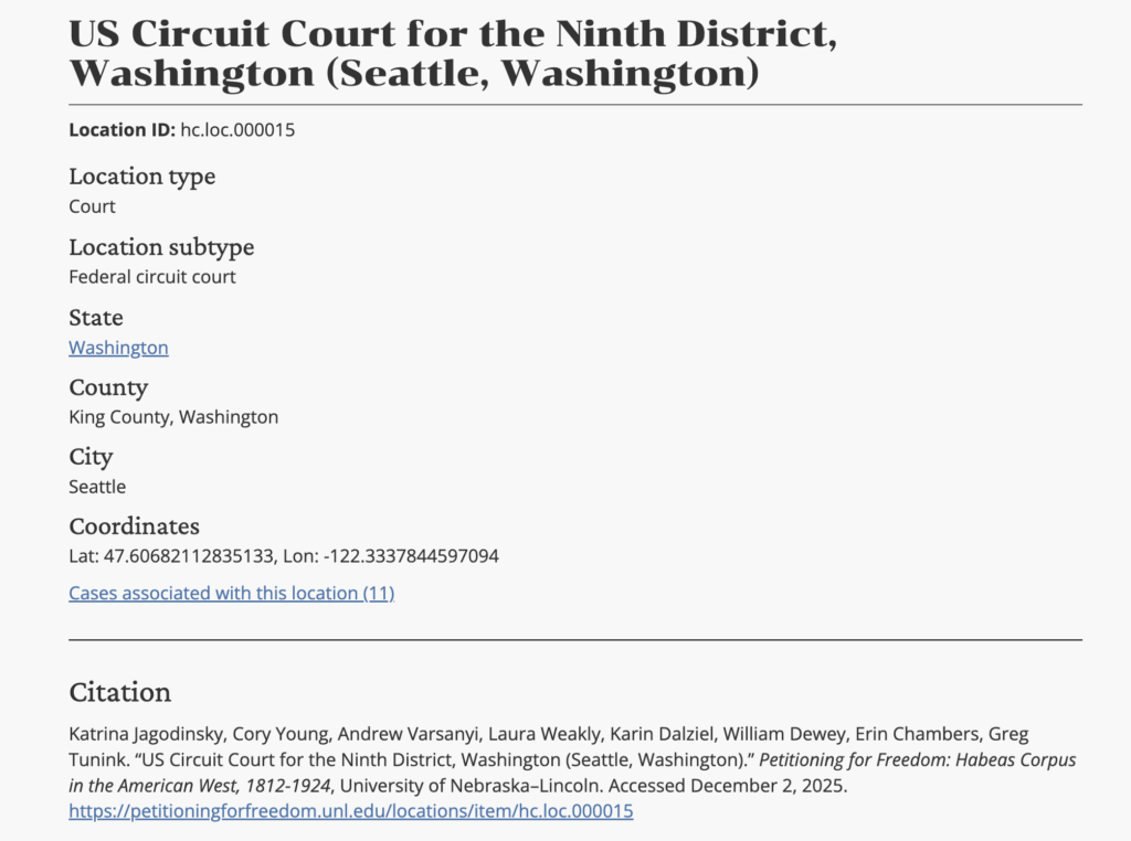
Database example from “Petitioning For Freedom”
The filter ability in PFF is also something GCU would utilize, being able to filter locations by many different categories.