Context:
Often throughout history, significant events can get lost to time due to either a lack of record or existing resources being scattered. Renewing Inequality does a great job making sure the effects of these federal Urban Renewal programs do no become forgotten. This is done through their collection and condensing of data into a central location within their interactive maps.
Renewing Inequality falls under the umbrella project American Panorama.
American Panorama “is a historical atlas of the United States for the twenty-first century. It combines cutting-edge research with innovative interactive mapping techniques, designed to appeal to anyone with an interest in American history or a love of maps.” Created within the University of Richmond’s Digital Scholarship Lab, it is an ongoing project with the goal to chronicle American history within interactive, geographic visualizations.

Peers:
Mapping Inequality:
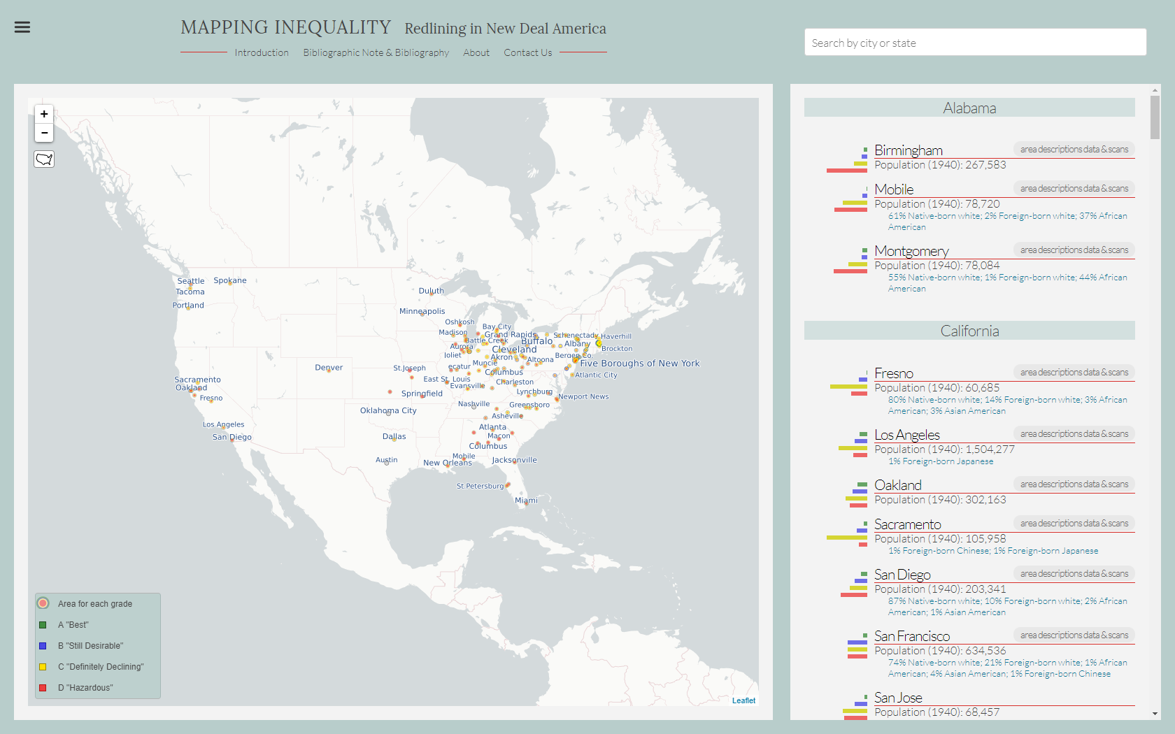
Mapping Inequality is an interactive map that focuses on the inequality taking place between 1935 and 1940, which came as a result of “one of the New Deal’s most important agencies, the Home Owners’ Loan Corporation or HOLC (pronounced “holk”).” It was made through the collaborative effort of 4 teams: American Panorama from University of Richmond, along with teams from University of Maryland, Virginia Tech, and John Hopkins University. The map focuses on specific areas throughout the United States, using a color key to measure the effects of HOLC, which is similar to the system used within the Renewing Inequality project.
Mapping Early American Elections:
Mapping Early American Elections offers “a window into the formative era of American politics by producing interactive maps and visualizations of Congressional and state legislative elections from 1787 to 1825. The project makes available the electoral returns and spatial data underlying those maps, along with topical essays on the political history of the period and tutorials to encourage users to use the datasets to create their own maps.” The project was originally developed by Roy Rosenzweig Center for History and New Media at George Mason University in 2016.
OUTgoing:
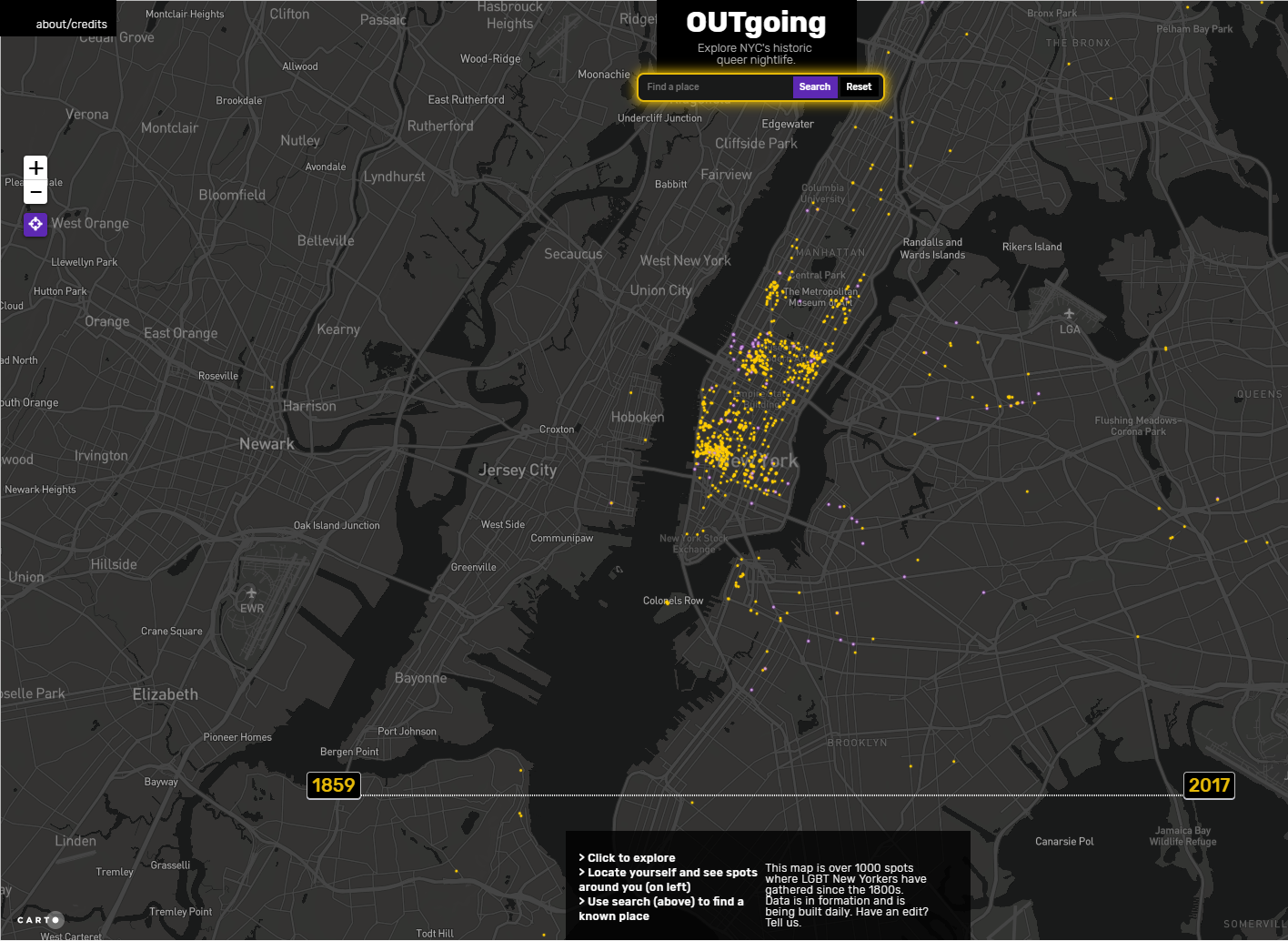
OUTgoing is “an effort to map documented historic locations of gay nightlife in New York City as far back and comprehensively as possible.” Through the study of historical documents, the project identifies and maps out specific locations associated with “gay nightlife” within New York City dating as far back as the mid-1800’s. The project has identified almost 1,000 unique locations throughout the city and continues to ask for people to contribute to the map with any data or information that may be missing.