Overview
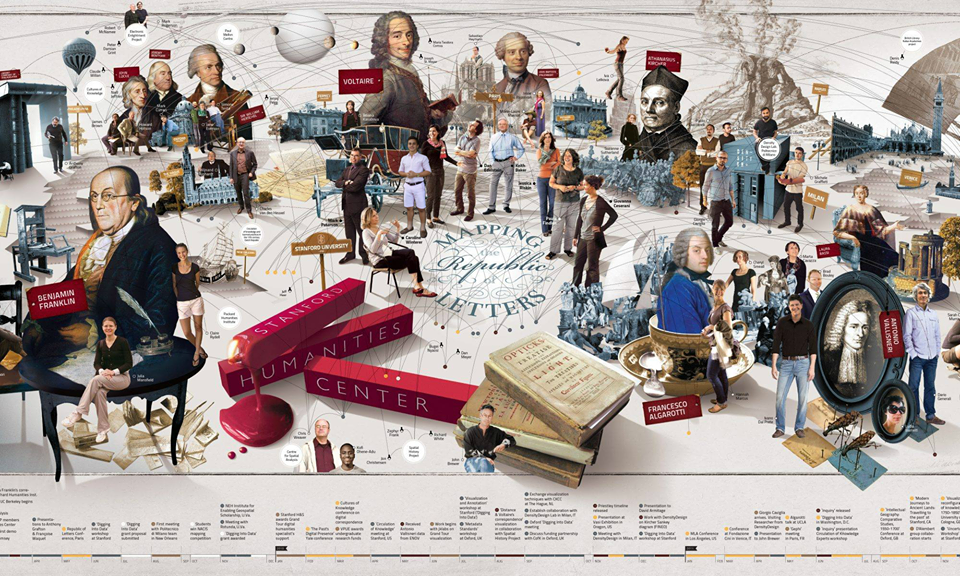
Mapping the Republic of Letters is a project that analyzes networks of information along with academic circles from the 16th to the 19th century. It is comprised mainly of case studies–separate projects within the Republic of Letters that analyze different things, such as intellectual and social geography, social and intellectual networks, and analytical and material inventory of correspondence–and publications where users can access the data visualizations, datasets, and published articles in relation to the case studies being examined. The project aims to depict correspondence networks across the globe, social networks of academies, and physical travel-based networks by using visualization tools that the user may interact with. The project also aims to build stronger guidelines for future metadata analysis.
Mapping the Republic of Letters is copyrighted as of 2009, making the project 9 years old at the time of this review, and is currently ongoing. Mapping the Republic of Letters is a project of Humanities+Design–a research lab–within CESTA (Center for Spatial and Textual Analysis), at Stanford University.
Mapping the Republic of Letters is headed at Stanford University by professors: Paula Findlen (PI), Dan Edelstein (PI), Nicole Coleman (Co-I and technical lead), Caroline Winterer, and Giovanna Ceserani. Case studies are managed by separate individuals from Stanford University, other academic institutions, and persons in related fields.
Case Studies
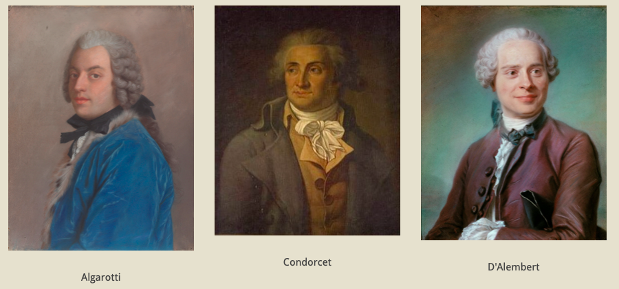
The project includes 12 case studies, each of which revolves around a specific historical figure, and divided into three different categories–correspondence, publication, and travel–between which the user may explore. Case studies within the Republic of Letters are most often constructed using different information sources, so each one provides different challenges in terms of data visualization. Individual case studies analyze one of these separate topics, resulting in various forms of visual representations. Having the vast array of case studies that the Republic of Letter does, results in “multiple points of intersection,” and are “strategic in geographic range and in time period, and in their breadth and scope.”
Publications
Publications of the Republic of Letters is where users can begin to delve into the projects in which the case studies mentioned above fit into while also exploring the visualizations and data representations implemented throughout said publications. This is also where the tools for these visualizations are mentioned–Palladio, Timechart (developed especially for the Grand Tour project), and Gephi (also featured in the DH Wiki)–which will be further explained on the Methodology page.
Space, Place, and Location
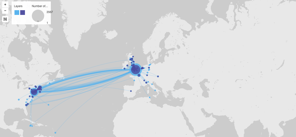
Space, place, and location play an immense role in the Mapping the Republic of Letters project. In order to depict the connections and correspondences described throughout case studies and publications alike, it is essential to know where these interaction occurred between. Mapping the Republic of Letters not only provides the valuable information of location between correspondences, but it spans itself over the space between hundred of years from the 1500s through the 1800s. These relationships can especially be seen through the visualizations provided throughout the project–whether they be by mapping distances or identifying individuals addressed. The relationship between space, place, and location within the Mapping the Republic of Letters project gives the user an enhanced and enlarged perspective on the process of communicating with others, the place in history within which these letters transpired, as well as possible queries as to the logistical complications of such communications over the course of time.
Significance
The significance of the Mapping the Republic of Letters project comes from the historical impact it makes concerning the incredibly intricate network correspondences created in times before the common practices of communication today were available. Said networks “were the lifelines of learning, from the age of Erasmus to the age of Franklin. They facilitated the dissemination–and the criticism–of ideas, the spread of political news, as well as the circulation of people and objects.” Without the Mapping the Republic of Letters project, the questions that the project aims to answer would forever remain unanswered. Mapping the Republic of Letters provides its users with a plethora of information, data, research, and visualizations that result in an insight to the delicate, yet complex, communication that many influential individuals utilized across the globe–at a time when this was no easy feat.