Tools and Methods

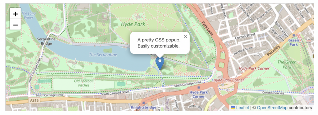
OpenStreetMap will be the tool used to build the projects digital interactive map. This tool allows for flexible, accessible map data, making it a good choice for showing local restaurants in West Chester.
Leaflet is another tool being used for my project which helps put location markers as link to webpage with all the details on that restaurant.
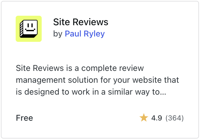
Word Press is the final tool I will be using for my project. This will be specifically for the student reviews and will be a plug in through word press. The one I will be using is called site reviews by Paul Ryley.
Using these tools lets the project have clear location markers and easy navigation, making the map simple and quick for students to use.
Methods:
The project will gather only student restaurant ratings and basic restaurant details in a survey sent out to the whole school. The data from this will then be organized to be shown clearly on the map.
Using OpenStreetMap, the interactive map will display restaurant locations, ratings, and information with markers and easy navigation to help students explore restaurants in West Chester area.By combining small details with the interactive map, the project allows for students not only see which restaurants are popular but also understand why the ratings are what they are.
It will be student generated. To make sure of this there will be a filter which only allows students with a West Chester email address to add to the map and give feedback this is called limited membership.