ArcGIS StoryMaps is an online digital mapping platform that lets users build interactive maps and combine them with text, images, and data visualizations. It is useful for this project because it allows:
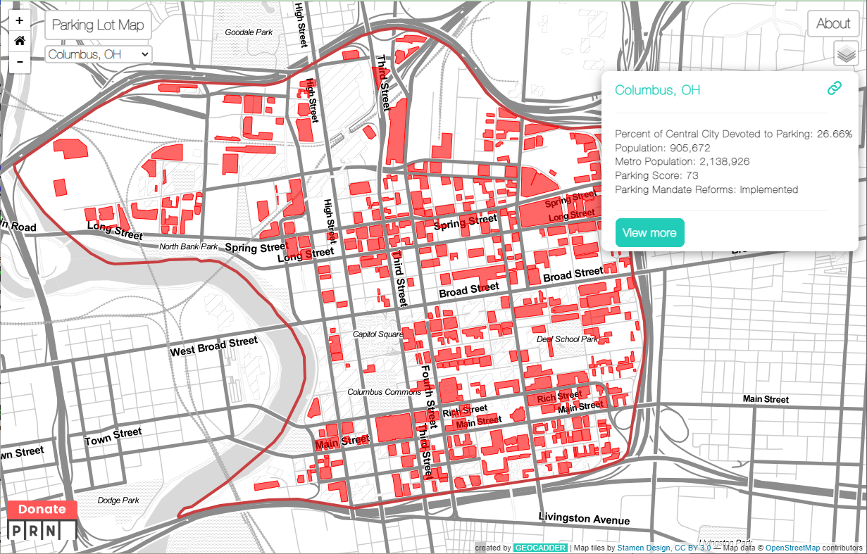
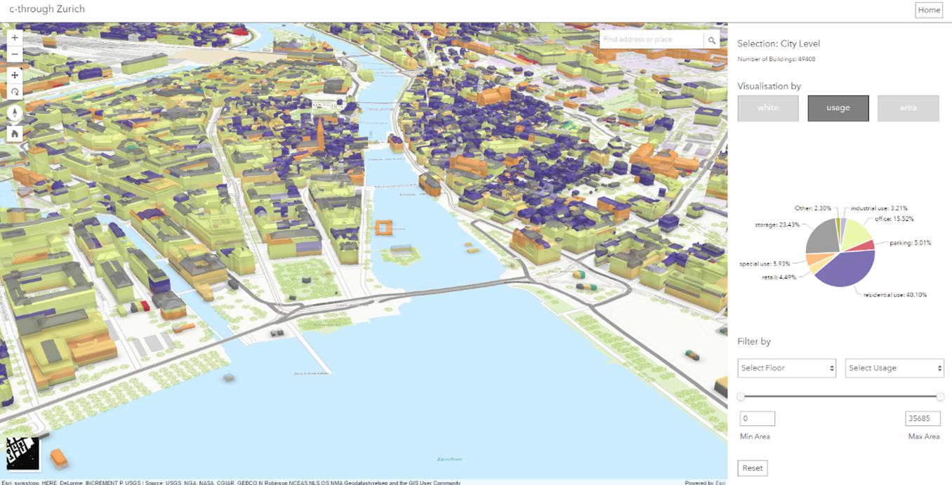
- Layered maps showing parking zones (free, paid, restricted)
- Interactive click-points where users can view meter prices, walking distances, or photos
- Embedded multimedia (maps + graphs + narratives in one flow)
- Clean, accessible design templates suitable for public-facing storytelling
- Easy integration of survey data or external datasets