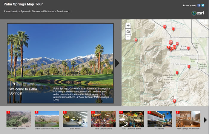
Spatial narrative mapping combines geographic information with personal stories to reveal patterns that numbers alone can’t show. For this project, the method includes:

- Mapping where parking issues occur (tickets, high-cost zones, limited access)
- Layering student/resident stories directly onto the map
- Using spatial visualization to show how cost, distance, and accessibility relate to equity
- Presenting both data (permit prices, ticket hotspots) and lived experiences in one interactive interface
- Turning maps into arguments that support policy change
This method strengthens the project by connecting real locations to real people and real consequences, showing how parking functions as a social justice issue.