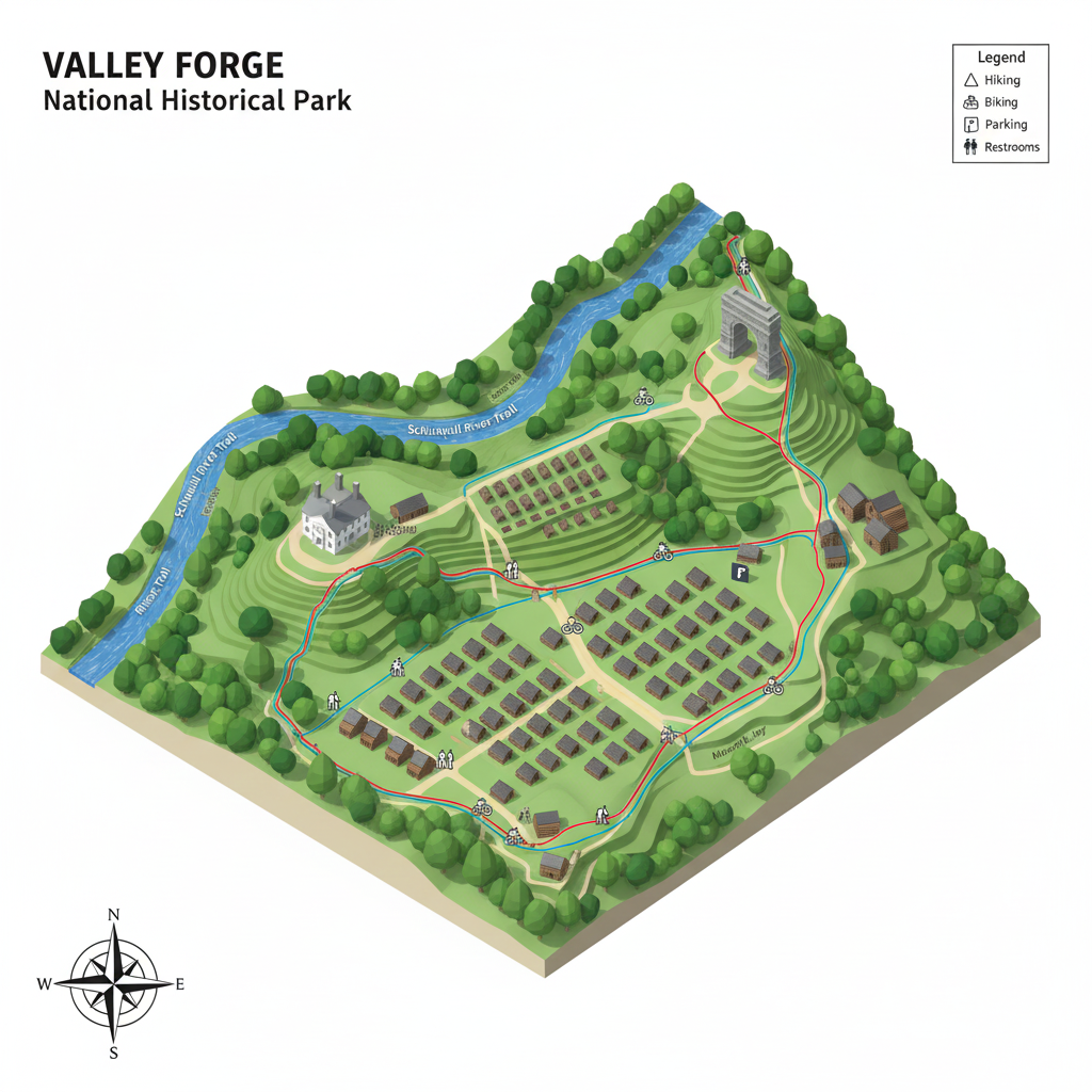
Input
Points of Interest. GPS coordinates for parks, nature preserves, gardens, major trailheads, historical markers
Trail Metrics: length, elevation gain, surface type, Operating hours.
Transit routes, walking routes and distances to Point of Interest, with ADA compliancy.
User submitted pictures, videos, comments, reviews, routes and locations.
output
-Customizable map layers
-trail “qualifications” (ADA compliancy/difficulty)
-Detailed Park & Trail Profiles
-Crowdsourced Insights- User ratings/difficulties
-Animal/plant catalogs
-questionnaire to pick the perfect location based on your “skill level”