Primary Tools Used:
ArcGIS (Geographic Information Systems)
- The University of Richmond Digital Scholarship Lab uses ArcGIS to create content about the inequality of urban renewal, including the Renewing Inequality story map. ArcGIS is a geographic information system (GIS) platform that helps users create, manage, analyze, map, and share data.
StoryMap
- The Renewing Inequality Map created by the University of Richmond’s Digital Scholarship Lab uses StoryMap. StoryMap is known as a web-based mapping tool that integrates multimedia and allows the public to visualize and explore data, creating the story.
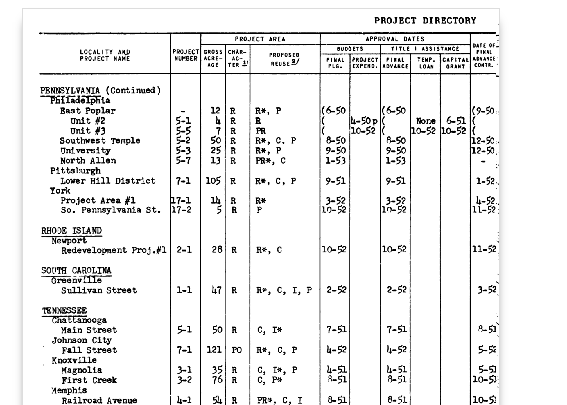
The Digital Scholarship Lab at the University of Richmond input this information to create the Digital Interactive Map¨All data about displacements, housing units razed, and re-use comes from the federal government’s Urban Renewal Project Characteristics(download zip file of pdfs) issued quarterly from 1955 to 1966. Those reports contain data about federally funded urban renewal projects in the aggregate and for individual projects. Funding data comes from the U.S. Department of Housing and Urban Development’s annual reports issued under the title Urban Renewal Directory. Planning, execution, and completion dates come from both of those sources.¨
Digital Scholarship Lab, “Renewing Inequality,” American Panorama
, ed. Robert K. Nelson and Edward L. Ayers, accessed November 6, 2024, https://dsl.richmond.edu/panorama/renewal/#view=-684.03/-79/1.62&viz=cartogram&city=philadelphiaPA&loc=13/39.9508/-75.1675.