The main goal of Detroitography is to make information about Detroit’s neighborhoods more accessible and understandable to the public. The project aims to present complex geographic and historical data in a clear visual format so that residents, students, researchers, and community organizations can easily learn about how the city has been shaped over time.

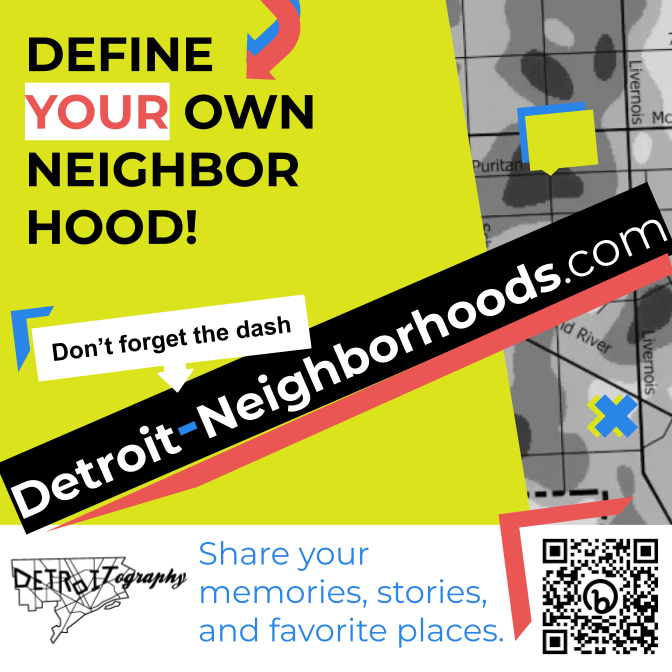
This goal supports Digital Humanities values because it uses data visualization and open-access mapping to connect academic knowledge with real community experience. Instead of keeping information limited to government or research institutions, Detroitography makes it available for everyone to use and interpret.