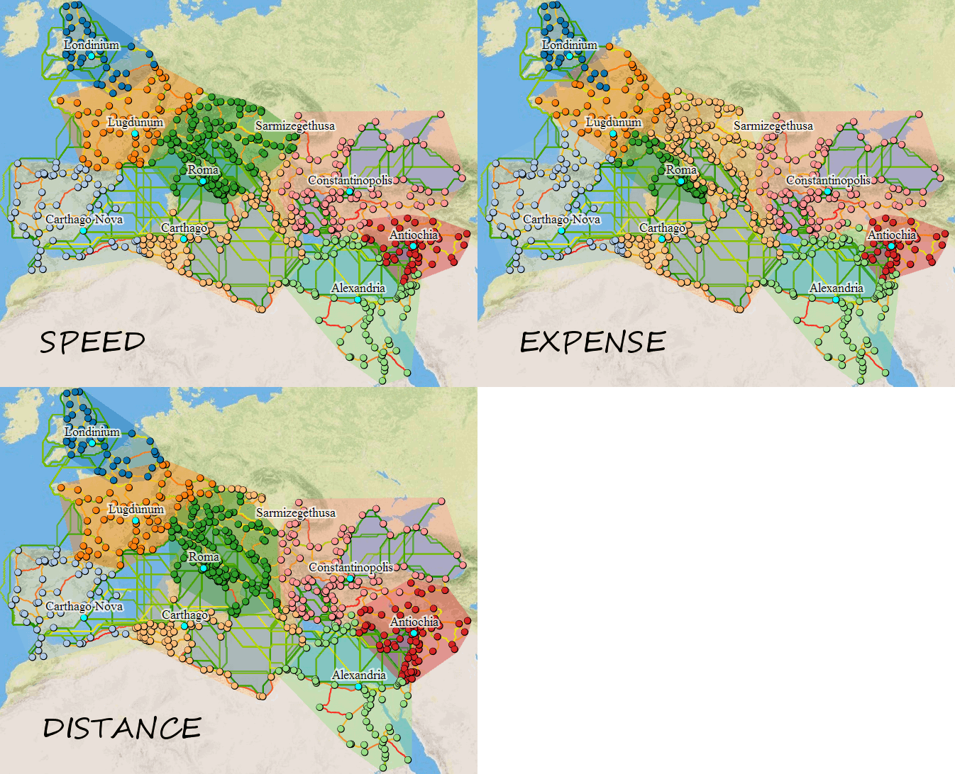
ORBIS is an interactive digital humanities project that models transportation and travel across the Roman Empire. It allows users to calculate routes, travel time, and costs between ancient locations using a reconstructed network of roads, rivers, and sea routes.
Who: Developed by scholars including Walter Scheidel, Elijah Meeks, and a team at Stanford
Where: Hosted online by Stanford University
When: Launched in 2012 and later updated (ORBIS 2.0)
What: A geospatial network model simulating travel in the Roman world
Audience: Scholars, students, educators, and general users interested in history and geography
ORBIS reconstructs a large-scale transportation network spanning the Roman Empire. It incorporates environmental factors, transportation methods, and economic variables. Users can simulate journeys and analyze how geography shaped movement and communication in antiquity.
This project is significant because it transforms static historical knowledge into an interactive, data-driven model. In terms of DH, ORBIS shows how computational tools (mapping, modeling, simulation) can deepen humanistic inquiry by allowing users to explore historical systems dynamically rather than just reading about them.