Spatial Data
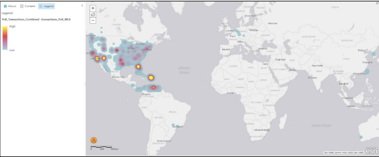
In Katherine Walden’s project “Remapping and visualizing baseball labor: a digital humanities project” one of the many digital tools she uses to display her sports analytics is the use of spatial data. Simply put, spatial data is the connection of data points and a real topographic location and features on a map. This figure to the left shows the birthplaces of Major League baseball players in the 2016 season. This spatial analysis helps the reader understand that the highest concentrated levels of Major League players are originating from foreign nations such as, Mexico, Cuba, Domincan Republic, and many more.