Social Justice
While the project does not show injustice directly, it does provide historical and geographic evidence that can be analyzed through a social justice lens. To do this, you can connect specific features of the map to cultural and social issues.
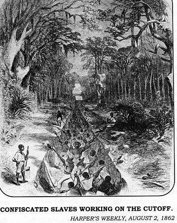
Further investigation
The map does not show the identities of workers who dug these canals, their wages or living conditions. The maps does help show the scale as to which industrialization happened. The map can help us scale the amount of workers needed to construct these canals. In addition the few canals available on the maps show the amount of goods passing through them and through the Santee canal, connecting Charleston and Columbia South Carolina you can see that the most moved product through them was cotton and tobacco two of the highest slave operated industries.
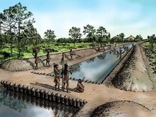
In addition, when overlaying the map with maps of the land of indigenous peoples, you can see where large amounts of their land were used for canals, causing mass displacement. With this, many of the peoples were not properly compensated for these projects.