How historical research, geographic information, and digital technology come together to make the past explorable.
Turning History into geography
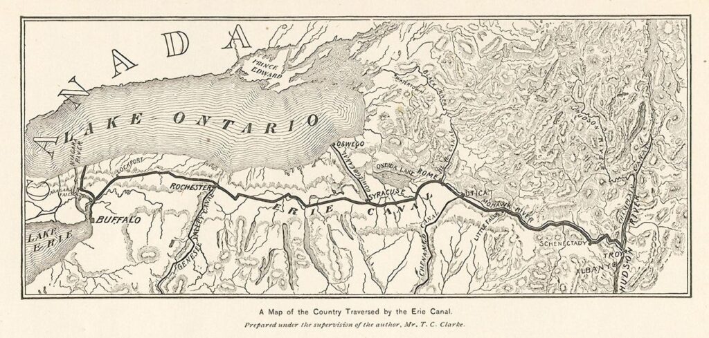
The foundation of the project is historical information about canal routes, construction dates, and transported commodities. The information is organized into geographic locations and years. This allows viewers to explore canals individually and as a large transportation network.
STEP 1 — INPUT
Historical data
Canal routes, opening dates, locations, transported commodities, and tonnage.
STEP 2 — ORGANIZATION
Spatial data
Historical information is connected to geographic locations so canal routes and related information can be mapped.
STEP 3 — VISUALIZATION
Stamen mapping toolkit
Mapping and interactive visualization tools turn the organized information into an explorable digital map.
STEP 4 — OUTPUT
Interactive Canals website
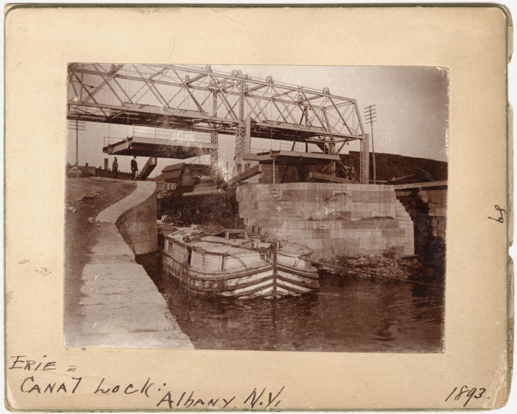
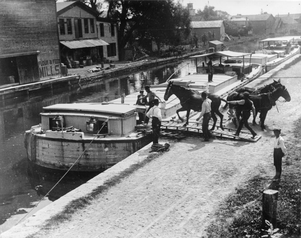
The collaboration between University of Richmond and Stamen Design helps transform historical research into an online learning experience. Visitors of the web project can select individual canals, move between years and examine information about commodities. As opposed to a static map or written essay, the interactive format encourages exploration.