Canals 1820-1860
This is an interactive digital history project exploring how canal construction transformed transportation, commerce, and economic development. This project maps canal networks and presents information about the goods and commodities transported through them. It allows users to explore the expansion of manmade waterways and examine how canals connected major cities and commercial markets.
Scope
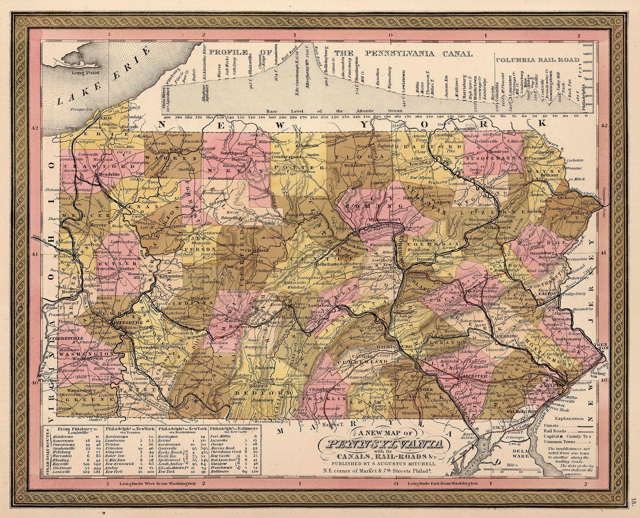
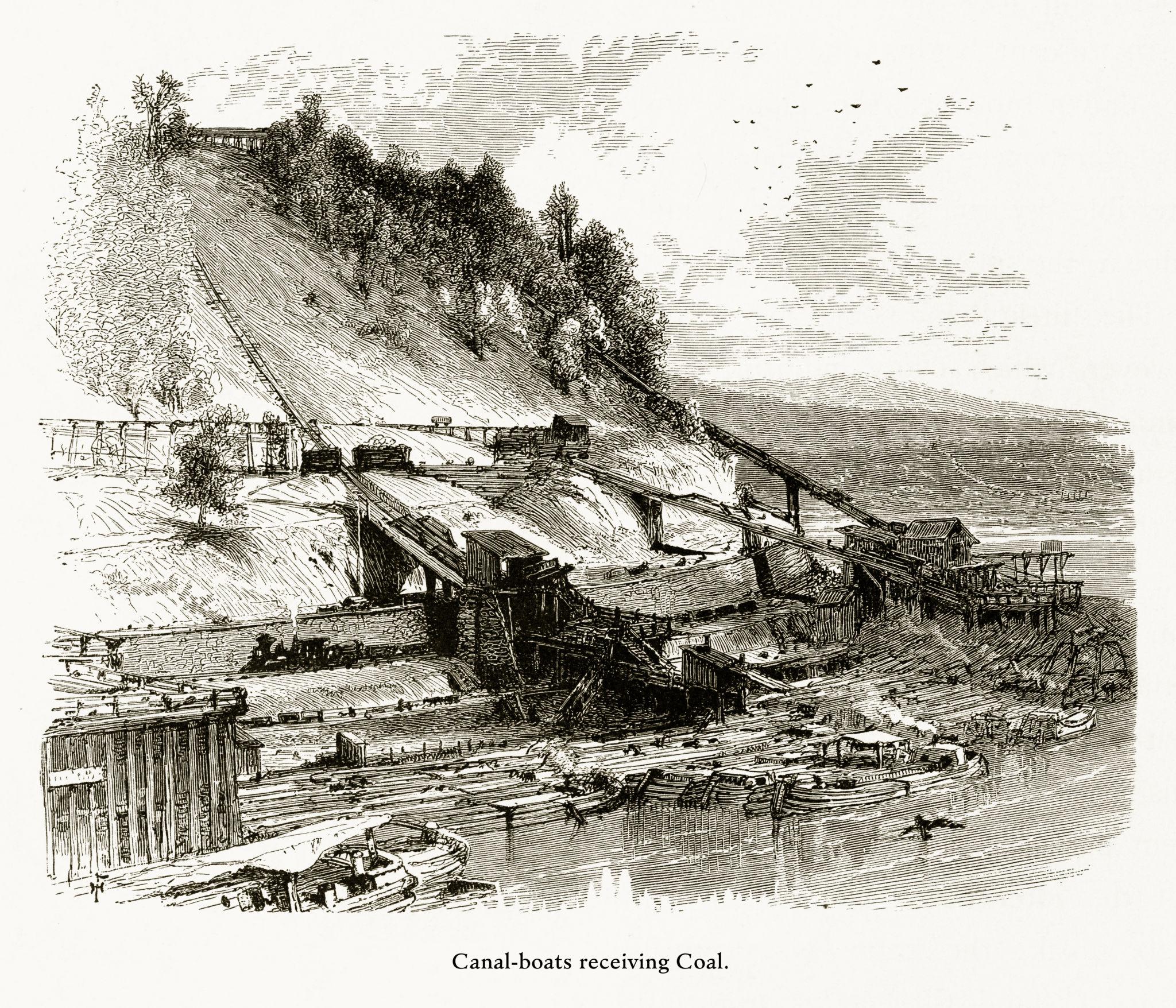
Historical scope: The project focuses on the period of 1820- 1860, when canals played a huge part in inland transportation, before the railroad became the dominant force. The project includes heavy hitters like the Erie Canal, Ohio Canal, and even the Delaware and Hudson Canal.
Data scope: The project goes beyond just mapping canal locations. Users can examine how they connected cities, towns, and regions. Different Years to investigate changes in canal transportation. It organizes the transported goods into categories including grains, alcohol, tobacco, lumber, timber agricultural products and even finished goods.
Details

Who created it?
The University of Richmond’s Digital Scholarship Lab created the project as part of the broader American Panorama initiative.
What does it do?
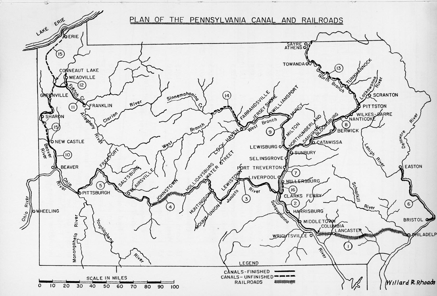
It visualizes canal routes and provides historical information about individual canals and commodities transported along them.
Where does it focus?
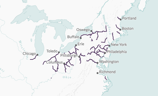
The project is focused on the United States, specifically in the northeast corridor and inland areas just west of the Appalachians
When?
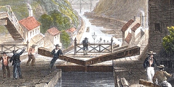
The historical coverage spans from 1820 to 1860, a period of major economic expansion in the United States’ North.
Who is the audience?
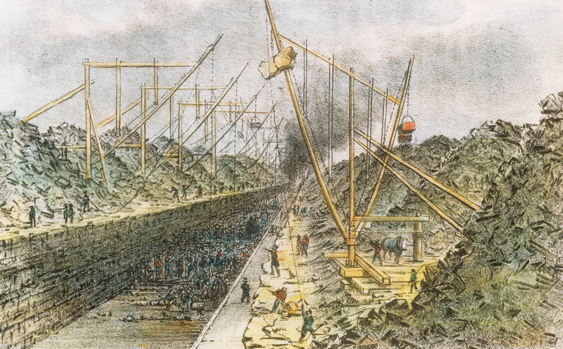
The intended audience for this includes anyone interested. It is publicly available and anybody with interest in history, maps, geography, or economic development may want to take a look.
Significance to digital humanities
Data visualization
- Historical information about routes, years, comodaties are visual and interactive.
- Not descriptions and tables
Interdisciplinary study
- Joins history, geography, cartography and web design.
- Collaboration between historians and web design
- Create new ways of presenting research.