“The model therefore relies on the previous work of hundreds of scholars and excavators from over more than a century of investigation at the site. It incorporates both modern and legacy data, architectural-style reconstructions with sub-meter accuracy, as well as hand-drawn sketch plans.” LINK
The main method was how to change a 2D map into a 3D map. The data from the 2D map was uploaded into ESRI CityEngine, an urban simulation program that allows for the combining of 2D and 3D GIS data. Using ESRI, Sullivan was able to automatically generate schematic models of tomb types at Saqqara.
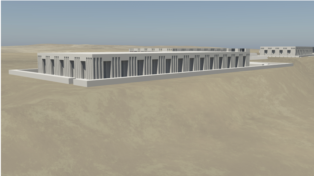
Due to the changing of the lanscape through time, the author used schematics to produce the “ruin” of each monument in the 3D model. The ruins were generated in CityEngine using “procedural modeling”, which automatically generates the architecture instead of manual 3D modeling.
“3D monuments were embellished with colors or repeating patterns (‘textures’) to replicate or reproduce basic aspects of the original appearance and materials of the structure. These could include monochrome colors intended to resemble the original color of a known material or more detailed patterns imitating materials like limestone, sandstone, mud-brick, and granite.” 3D Monument Construction.
These methods are not aligned with Digital Humanity’s values because of the lack of accessibility that the 3D rendering programs have. DH values the public’s ability to use and access certain software freely and openly.