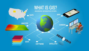
The primary digital tool explored in this essay is Geographic Information Systems (GIS). GIS allows historians to create and analyze maps, enabling them to study spatial relationships between historical events. In projects like Mapping the Republic of Letters, GIS technology is used to track how ideas, people, and documents moved across geographic regions. By visualizing these patterns, historians can identify relationships and trends that may not have been evident through traditional research methods.
This shift to digital tools like GIS represents a significant advancement in the discipline of history, as it allows for a broader, more data-driven understanding of the past. Historians can now work with large datasets and use computational methods to uncover hidden connections and interpret history on a macro level.